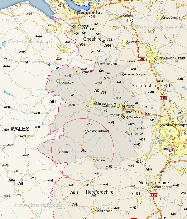
Shropshire Map Showing Location of Halford
District: South Shropshire
Easting: 343351 Northing: 282070
Latitude: 52.43 Longitude: -2.83
 = Halford
Easting: 343351 Northing: 282070
Latitude: 52.43 Longitude: -2.83
= Halford
This Halford map below is supplied by Google. Use the tools in the top left corner to zoom into street level or zoom out for a road map, you may also need to zoom in to see Halford on the map. Click and drag the map to move around. If the map fails to load try and refresh your browser or zoom in or out (+ or -).
Update - it seems Google no longer allow people to use their maps for free! This Halford map sometimes loads and sometimes gives a error. I am working on a solution.
Closest 30 Towns or Cities to Halford (Population over 500)
Wistanstow 3.88km Diddlebury 8.73km North Lydbury 8.74km Lydbury North 8.74km Ludlow 10.04km Bucknell 10.84km Rushbury 12.18km Bitterley 12.97km Church Stretton 13.17km Clun 13.69km Caynham 14.62km Shelve 19.53km Ditton Priors 19.53km Minsterley 23.24km Chirburg 23.76km Chirbury 23.76km Pontesbury 24.33km Cleobury Mortimer 24.38km Condover 24.75km Berrington 25.73km Baystonhill 26.56km Cressage 26.63km Much Wenlock 26.67km Hanwood 27.82km Great Hanwood 27.82km Kinlet 28.31km Westbury 28.9km Bridgnorth 30.33km Highley 30.56km Barrow 30.97km