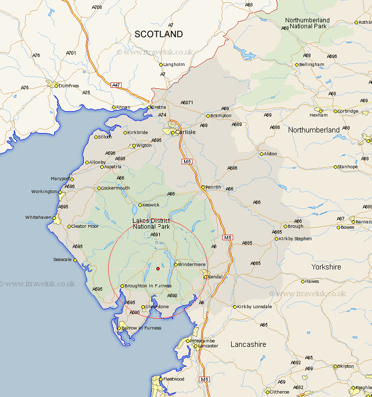
Cumbria Map Showing Location of Grizedale
District: South Lakeland
Easting: 333925 Northing: 495432
Latitude: 54.35 Longitude: -3.02
 = Grizedale
Easting: 333925 Northing: 495432
Latitude: 54.35 Longitude: -3.02
= Grizedale
This Grizedale map below is supplied by Google. Use the tools in the top left corner to zoom into street level or zoom out for a road map, you may also need to zoom in to see Grizedale on the map. Click and drag the map to move around. If the map fails to load try and refresh your browser or zoom in or out (+ or -).
Update - it seems Google no longer allow people to use their maps for free! This Grizedale map sometimes loads and sometimes gives a error. I am working on a solution.
Closest 30 Towns or Cities to Grizedale (Population over 500)
Hawkshead 2.15km Conistan 3.73km Coniston 3.73km Windermere 6.74km Ambleside 8.09km Colton 9.51km Haverthwaite 12.98km Staveley 13.09km Ulverstone 17.53km Ulverston 17.53km Kendal 17.68km Kendall 17.68km Levens 18.78km Holker 18.82km Lower Holker 18.82km Natland 19.82km Pennington 20.02km Heversham 20.78km Milnthorpe 21.98km Arnside 22.03km Lindal 22.14km Lindal in Furness 22.14km Askam 22.63km Askam in Furness 22.63km Great Urswick 23.17km Beetham 23.27km Millom 23.27km Dalton 24.28km Dalton in Furness 24.28km Bootle 24.52km