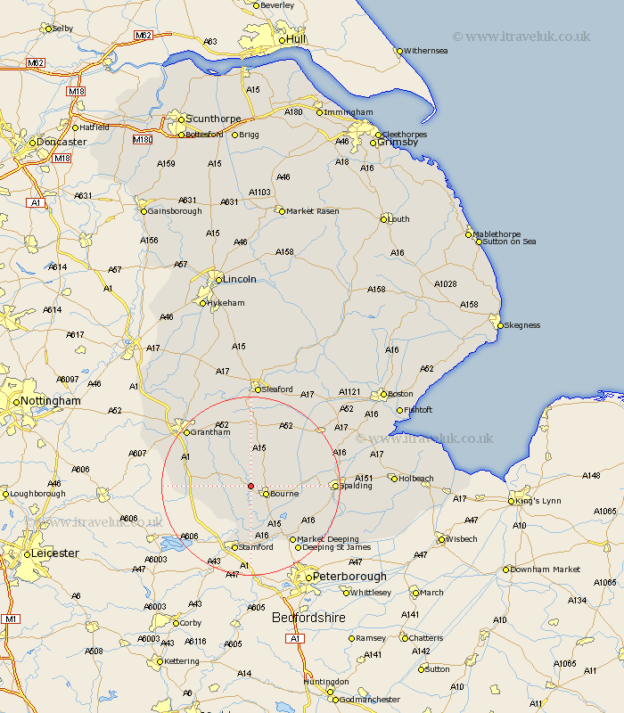
Lincolnshire Map Showing Location of Grimsthorpe
District: South Kesteven
Easting: 505651 Northing: 321823
Latitude: 52.78 Longitude: -0.43
 = Grimsthorpe
Easting: 505651 Northing: 321823
Latitude: 52.78 Longitude: -0.43
= Grimsthorpe
This Grimsthorpe map below is supplied by Google. Use the tools in the top left corner to zoom into street level or zoom out for a road map, you may also need to zoom in to see Grimsthorpe on the map. Click and drag the map to move around. If the map fails to load try and refresh your browser or zoom in or out (+ or -).
Update - it seems Google no longer allow people to use their maps for free! This Grimsthorpe map sometimes loads and sometimes gives a error. I am working on a solution.
Closest 30 Towns or Cities to Grimsthorpe (Population over 500)
Bourne 3.84km Bourn 3.84km Morton 4.48km Rippingale 5.82km Corby 5.9km Thurlby 8.66km Castle Bytham 8.73km Folkingham 9.54km Pointon 10.01km Baston 10.83km Langtoft 11.45km Langfoft 11.45km Ropsley 12.45km Colsterworth 12.47km South Witham 12.88km Billingborough 12.99km Uffington 14.87km Stamford 15.2km Market Deeping 15.77km Deeping Saint Nicholas 17.36km Deeping St. Nicholas 17.36km Deeping St Nicholas 17.36km Spalding 17.93km Deeping Saint James 17.94km Deeping St James 17.94km Deeping St. James 17.94km Grantham 18.68km Helpringham 18.93km Pinchbeck 19.14km Harlaxton 19.19km