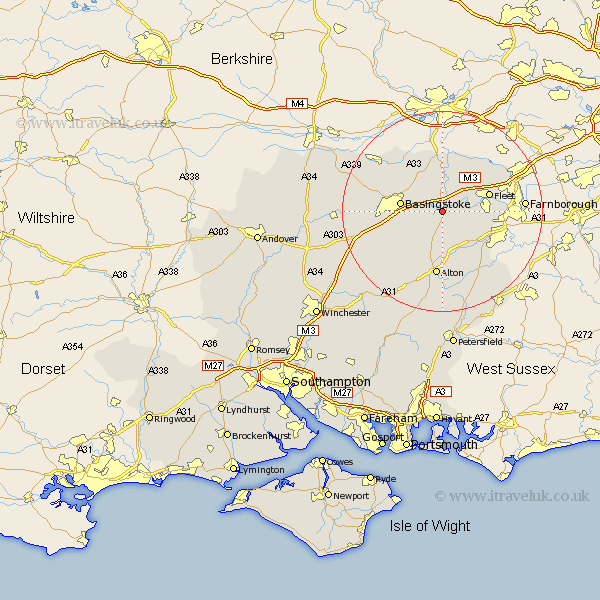
Hampshire Map Showing Location of Greywell
Population: 220
District: Hart
Easting: 472110 Northing: 150656
Latitude: 51.25 Longitude: -0.97
 = Greywell
District: Hart
Easting: 472110 Northing: 150656
Latitude: 51.25 Longitude: -0.97
= Greywell
This Greywell map below is supplied by Google. Use the tools in the top left corner to zoom into street level or zoom out for a road map, you may also need to zoom in to see Greywell on the map. Click and drag the map to move around. If the map fails to load try and refresh your browser or zoom in or out (+ or -).
Update - it seems Google no longer allow people to use their maps for free! This Greywell map sometimes loads and sometimes gives a error. I am working on a solution.
Closest 30 Towns or Cities to Greywell (Population over 500)
Hook 2.19km Odiham 2.32km Rotherwick 3.7km Upton Grey 4.37km Long Sutton 4.37km Basing 5km Winchfield 6.09km Sherfield 6.56km Sherfield upon Loddon 6.56km Hartley Wintney 8.03km Basingstoke 8.33km Crondall 8.93km Froyle 9.9km Fleet 9.99km Bramley 10.17km Bentley 10.17km Binsted 12.54km Alton 13.03km Silchester 13.11km Aldershot 13.92km Dummer 13.92km Blackwater 14.75km Oakley 15.08km Four Marks 15.92km Tadley 16.06km North Waltham 16.08km Farnborough 16.34km Kingsley 16.38km Medstead 16.38km Baughurst 16.71km