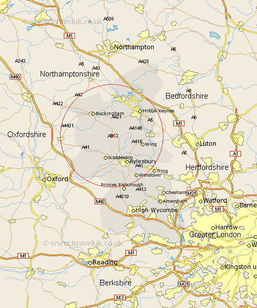
Buckinghamshire Map Showing Location of Grandborough
District: Aylesbury Vale
Easting: 476793 Northing: 224878
Latitude: 51.92 Longitude: -0.88
 = Grandborough
Easting: 476793 Northing: 224878
Latitude: 51.92 Longitude: -0.88
= Grandborough
This Grandborough map below is supplied by Google. Use the tools in the top left corner to zoom into street level or zoom out for a road map, you may also need to zoom in to see Grandborough on the map. Click and drag the map to move around. If the map fails to load try and refresh your browser or zoom in or out (+ or -).
Update - it seems Google no longer allow people to use their maps for free! This Grandborough map sometimes loads and sometimes gives a error. I am working on a solution.
Closest 30 Towns or Cities to Grandborough (Population over 500)
Winslow 3.87km North Marston 3.89km Mursley 4.93km Whitchurch 5.06km Whitechurch 5.06km Great Horwood 5.68km Quainton 6.02km Claydon 7.1km Steeple Claydon 7.1km Padbury 7.2km Thornborough 7.75km Stewkley 9.14km Waddesdon 9.55km Gawcott 9.74km Newton Longville 9.74km Grendon Underwood 9.75km Twyford 10.45km Maids Moreton 10.88km Buckingham 11.52km Soulbury 11.58km Marsh Gibbon 11.58km Stoke Hammond 12.01km Wing 12.02km Shenley Brook End 12.24km Aylesbury 12.51km Bletchley 12.67km Shenley 13.06km Shenley Church End 13.06km Stone 13.18km Tingewick 13.61km