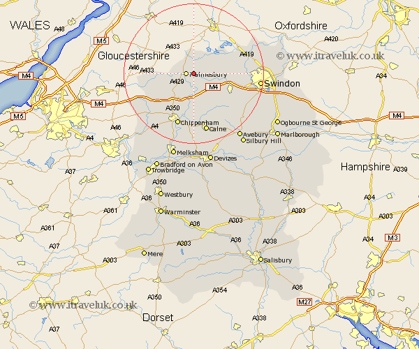
Wiltshire Map Showing Location of Garsdon
District: North Wiltshire
Easting: 396536 Northing: 187214
Latitude: 51.58 Longitude: -2.05
 = Garsdon
Easting: 396536 Northing: 187214
Latitude: 51.58 Longitude: -2.05
= Garsdon
This Garsdon map below is supplied by Google. Use the tools in the top left corner to zoom into street level or zoom out for a road map, you may also need to zoom in to see Garsdon on the map. Click and drag the map to move around. If the map fails to load try and refresh your browser or zoom in or out (+ or -).
Update - it seems Google no longer allow people to use their maps for free! This Garsdon map sometimes loads and sometimes gives a error. I am working on a solution.
Closest 30 Towns or Cities to Garsdon (Population over 500)
Lea 2.18km Malmsbury 2.3km Malmesbury 2.3km Crudwell 5.68km Somerford 5.68km Great Somerford 5.68km Brinkworth 5.91km Minety 7.84km Hullavington 8.87km Christian Malford 9.26km Stanton Saint Quintin 9.38km Stanton St. Quintin 9.38km Stanton 9.38km Stanton St Quintin 9.38km Lyneham 9.39km Sutton Benger 9.55km Ashton Keynes 9.79km Sherston 11.67km Wootton Bassett 11.77km Wooton Bassett 11.77km Purton 12.67km Lydiard Millicent 12.8km Hilmarton 14.19km Hillmarton 14.19km Luckington 14.31km Bremhill 14.87km Cricklade 14.89km Yatton Keynell 15.21km Chippenham 15.52km Broad Town 16.87km