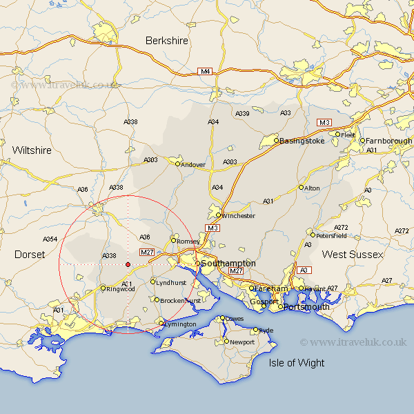
Hampshire Map Showing Location of Fritham
District: New Forest
Easting: 422258 Northing: 113135
Latitude: 50.92 Longitude: -1.68
 = Fritham
Easting: 422258 Northing: 113135
Latitude: 50.92 Longitude: -1.68
= Fritham
This Fritham map below is supplied by Google. Use the tools in the top left corner to zoom into street level or zoom out for a road map, you may also need to zoom in to see Fritham on the map. Click and drag the map to move around. If the map fails to load try and refresh your browser or zoom in or out (+ or -).
Update - it seems Google no longer allow people to use their maps for free! This Fritham map sometimes loads and sometimes gives a error. I am working on a solution.
Closest 30 Towns or Cities to Fritham (Population over 500)
Bramshaw 5.02km Hale 5.1km Minstead 6.92km Cadnam 7.01km Ibsley 7.94km Fordingbridge 8.38km West Wellow 8.94km Lyndhurst 8.95km Sandleheath 10.06km Sherfield English 10.19km Ringwood 10.21km Burley 11.18km Damerham 11.83km South Damerham 11.83km Brockenhurst 13.81km Totton 14.02km Eling 14.14km Romsey 14.82km Bransgore 15.24km Sway 15.95km Marchwood 17.92km Sopley 18.1km Michelmersh 18.24km Michlemersh 18.24km Dibden 18.39km Chilworth 19.05km Hordle 19.44km Boldre 19.73km Beaulieu 19.79km Bewley 19.79km