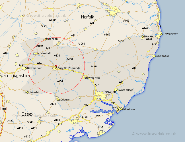
Suffolk Map Showing Location of Fornham St Martin
District: St. Edmundsbury
Easting: 585355 Northing: 266691
Latitude: 52.27 Longitude: 0.72
 = Fornham St Martin
Easting: 585355 Northing: 266691
Latitude: 52.27 Longitude: 0.72
= Fornham St Martin
This Fornham St Martin map below is supplied by Google. Use the tools in the top left corner to zoom into street level or zoom out for a road map, you may also need to zoom in to see Fornham St Martin on the map. Click and drag the map to move around. If the map fails to load try and refresh your browser or zoom in or out (+ or -).
Update - it seems Google no longer allow people to use their maps for free! This Fornham St Martin map sometimes loads and sometimes gives a error. I am working on a solution.
Closest 30 Towns or Cities to Fornham St Martin (Population over 500)
Fornham All Saints 1.13km Bury St Edmunds 1.86km Bury Saint Edmunds 1.86km Bury St. Edmunds 1.86km Great Barton 3.4km Risby 5.67km Rushbrooke 6.52km Thurston 7.05km Troston 7.17km Pakenham 7.94km Ixworth 8.76km Honington 9.32km Bradfield 9.34km Bradfield Saint George 9.34km Bradfield St George 9.34km Bradfield St. George 9.34km Barrow 9.81km Chevington 10.07km Norton 10.38km Bardwell 10.64km Barnham 11.18km Chedburgh 11.5km Lawshall 13.03km Stanton 13.65km Woolpit 13.66km Badwell Ash 13.73km Gazeley 13.74km Cockfield 13.75km Elmswell 14.11km Rattlesden 14.66km