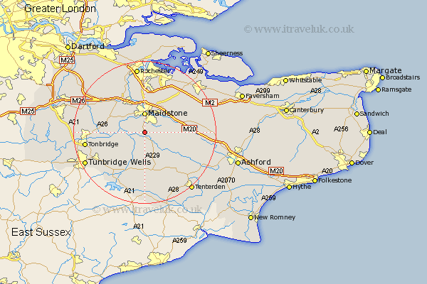
Kent Map Showing Location of Linton
Population: 536
District: Maidstone
Easting: 575740 Northing: 149455
Latitude: 51.22 Longitude: 0.52
 = Linton
District: Maidstone
Easting: 575740 Northing: 149455
Latitude: 51.22 Longitude: 0.52
= Linton
This Linton map below is supplied by Google. Use the tools in the top left corner to zoom into street level or zoom out for a road map, you may also need to zoom in to see Linton on the map. Click and drag the map to move around. If the map fails to load try and refresh your browser or zoom in or out (+ or -).
Update - it seems Google no longer allow people to use their maps for free! This Linton map sometimes loads and sometimes gives a error. I am working on a solution.
Closest 30 Towns or Cities to Linton (Population over 500)
Linton 0km Boughton Monchelsea 1.16km Loose 1.85km Hunton 2.97km Langley 5km Sutton Valence 5km Barming 5.08km East Barming 5.08km Maidstone 5.56km Marden 5.68km Yalding 5.8km Bearsted 6.56km Leeds 7.2km Staplehurst 7.51km Aylesford 7.76km Boxley 7.76km Wateringbury 7.89km East Malling 8.03km Detling 8.74km East Peckham 9.47km Ulcombe 9.47km Hollingbourne 9.99km Headcorn 10.18km Frittenden 10.37km Paddock Wood 10.83km Addington 10.99km West Malling 10.99km Mereworth 11.08km Burham 11.36km Harrietsham 11.75km