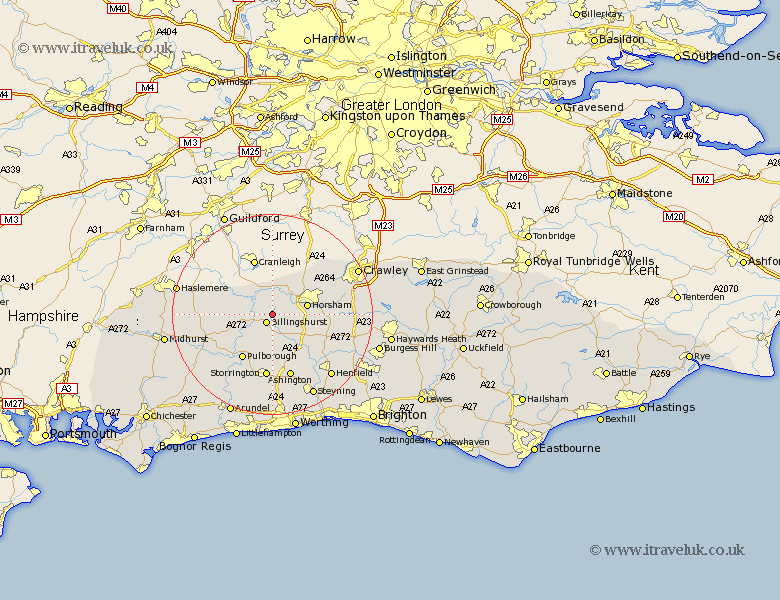
Sussex Map Showing Location of Five Oaks
District: Horsham
Easting: 509840 Northing: 127220
Latitude: 51.03 Longitude: -0.43
 = Five Oaks
Easting: 509840 Northing: 127220
Latitude: 51.03 Longitude: -0.43
= Five Oaks
This Five Oaks map below is supplied by Google. Use the tools in the top left corner to zoom into street level or zoom out for a road map, you may also need to zoom in to see Five Oaks on the map. Click and drag the map to move around. If the map fails to load try and refresh your browser or zoom in or out (+ or -).
Update - it seems Google no longer allow people to use their maps for free! This Five Oaks map sometimes loads and sometimes gives a error. I am working on a solution.
Closest 30 Towns or Cities to Five Oaks (Population over 500)
Billingshurst 2.18km Slinfold 2.98km Itchingfield 3.5km Wisborough Green 5.01km Southwater 6.11km Loxwood 6.91km Horsham 7.23km West Horsham 7.23km Rudgwick 7.42km Kirdford 8.37km Shipley 8.75km Warnham 8.93km Plaistow 9.51km Nuthurst 10.04km West Grinstead 10.19km Pulborough 10.95km Thakeham 11.18km West Chiltington 11.18km West Chillington 11.18km Storrington 12.87km Cowfold 12.92km Petworth 12.92km Lower Beeding 12.95km Coldwaltham 13.14km Fittleworth 13.15km Ashington 13.43km Rusper 13.81km Tillington 13.98km Northchapel 14.11km North Chapel 14.11km