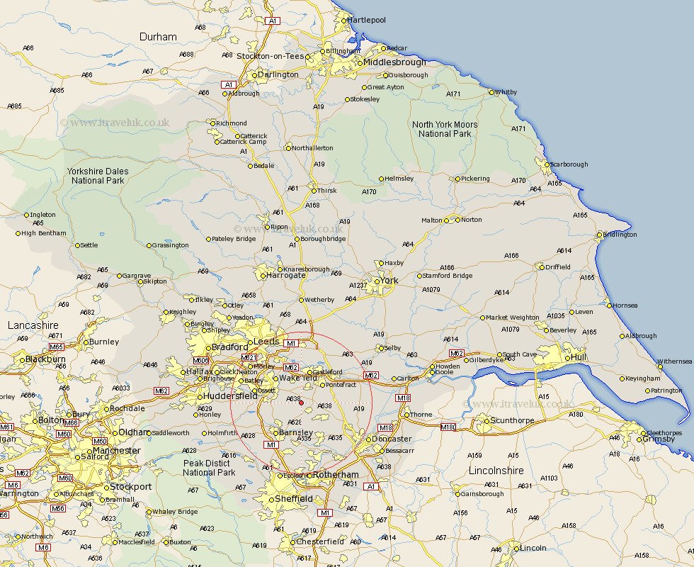
Yorkshire Map Showing Location of Fitzwilliam
Population: 4647
Area Size (ha): 106
District: Wakefield
Easting: 440772 Northing: 415400
Latitude: 53.63 Longitude: -1.38
 = Fitzwilliam
Area Size (ha): 106
District: Wakefield
Easting: 440772 Northing: 415400
Latitude: 53.63 Longitude: -1.38
= Fitzwilliam
This Fitzwilliam map below is supplied by Google. Use the tools in the top left corner to zoom into street level or zoom out for a road map, you may also need to zoom in to see Fitzwilliam on the map. Click and drag the map to move around. If the map fails to load try and refresh your browser or zoom in or out (+ or -).
Update - it seems Google no longer allow people to use their maps for free! This Fitzwilliam map sometimes loads and sometimes gives a error. I am working on a solution.
Closest 30 Towns or Cities to Fitzwilliam (Population over 500)
Crofton 2.88km Ryhill 3.78km High Ackworth 3.78km Ackworth Moor Top 3.78km Ackworth 3.78km Hemsworth 4.31km Royston 5.75km Badsworth 5.8km Shafton 5.98km Upton 6.85km Featherstone 7.5km Notton 7.56km Cudworth 7.73km Normanton 7.73km Pontefract 7.81km Moorthorpe 7.82km South Kirkby 8.23km South Elmsall 8.63km North Elmsall 8.98km Little Houghton 9.33km Houghton 9.52km Great Houghton 9.52km Castleford 9.53km Darrington 9.54km Woolley 9.54km Crigglestone 9.89km Wakefield 9.92km Stanley 9.92km Darfield 11.12km Darsfield 11.12km