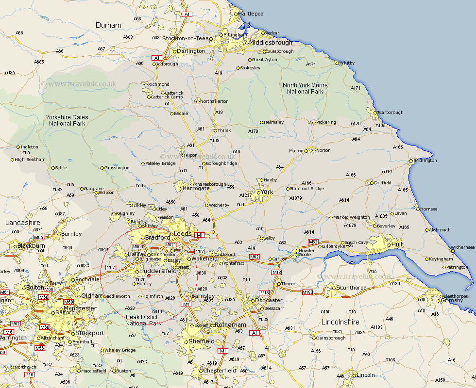
Yorkshire Map Showing Location of Fenay Bridge
District: Kirklees
Easting: 418733 Northing: 415260
Latitude: 53.63 Longitude: -1.72
 = Fenay Bridge
Easting: 418733 Northing: 415260
Latitude: 53.63 Longitude: -1.72
= Fenay Bridge
This Fenay Bridge map below is supplied by Google. Use the tools in the top left corner to zoom into street level or zoom out for a road map, you may also need to zoom in to see Fenay Bridge on the map. Click and drag the map to move around. If the map fails to load try and refresh your browser or zoom in or out (+ or -).
Update - it seems Google no longer allow people to use their maps for free! This Fenay Bridge map sometimes loads and sometimes gives a error. I am working on a solution.
Closest 30 Towns or Cities to Fenay Bridge (Population over 500)
Kirkburton 3.86km Shelley 4.31km Mirfield 4.32km Huddersfield 4.77km Shepley 5.56km Emley 5.8km Honley 6.63km Liversedge 7.5km Middlestown 7.91km Middletown 7.91km Denby Dale 8.11km Heckmondwike 8.12km Brighouse 8.62km Batley 9.19km Cleckheaton 9.27km Elland 9.49km Holmfirth 9.83km Dewsbury 9.92km Drewsbury 9.92km Bretton 10.06km West Bretton 10.06km Meltham 10.41km Ossett 10.56km Cawthorne 11.5km Horbury 11.6km Holme 12.04km Crigglestone 12.09km Halifax 12.77km Dunford Bridge 13.15km Darton 13.31km