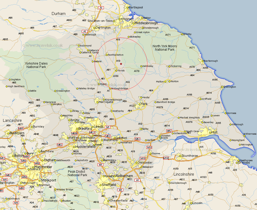
Yorkshire Map Showing Location of Feliskirk
District: Hambleton
Easting: 446671 Northing: 485925
Latitude: 54.27 Longitude: -1.28
 = Feliskirk
Easting: 446671 Northing: 485925
Latitude: 54.27 Longitude: -1.28
= Feliskirk
This Feliskirk map below is supplied by Google. Use the tools in the top left corner to zoom into street level or zoom out for a road map, you may also need to zoom in to see Feliskirk on the map. Click and drag the map to move around. If the map fails to load try and refresh your browser or zoom in or out (+ or -).
Update - it seems Google no longer allow people to use their maps for free! This Feliskirk map sometimes loads and sometimes gives a error. I am working on a solution.
Closest 30 Towns or Cities to Feliskirk (Population over 500)
Thirsk 6.44km Osmotherley 11.17km Topcliffe 11.33km Northallerton 12.23km Brompton 12.67km Ampleforth 13.13km Helmsley 14.19km Raskelf 14.99km Dishforth 15.61km Whorlton 16.82km Easingwold 17.54km Bedale 19.56km Nawton 19.84km Tanfield 19.85km West Tanfield 19.85km Alne 20.65km Stillington 21.48km Great Broughton 21.74km Boroughbridge 21.76km Crakehall 21.95km Ingleby 22.01km Middleton upon Leven 22.26km Middleton 22.26km Ripon 22.55km Huby 22.61km Seamer 22.65km Tollerton 22.66km Kirkby Moorside 22.73km Kirby Moorside 22.73km North Cowton 22.77km