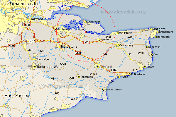
Kent Map Showing Location of Elmley
District: Swale
Easting: 592566 Northing: 166759
Latitude: 51.37 Longitude: 0.77
 = Elmley
Easting: 592566 Northing: 166759
Latitude: 51.37 Longitude: 0.77
= Elmley
This Elmley map below is supplied by Google. Use the tools in the top left corner to zoom into street level or zoom out for a road map, you may also need to zoom in to see Elmley on the map. Click and drag the map to move around. If the map fails to load try and refresh your browser or zoom in or out (+ or -).
Update - it seems Google no longer allow people to use their maps for free! This Elmley map sometimes loads and sometimes gives a error. I am working on a solution.
Closest 30 Towns or Cities to Elmley (Population over 500)
Iwade 2.31km Sittingbourne 3.89km Bobbing 4.99km Teynham 5.08km Queenborough 5.56km Bapchild 5.56km Minster 6.55km Tunstall 6.56km Lower Halstow 6.94km Newington 7.19km Borden 7.24km Sheerness 7.41km Linsted 7.51km Lynsted 7.51km Eastchurch 7.87km Upchurch 8.1km Bredgar 8.74km Stockbury 9.83km Oare 9.83km Grain 9.89km Warden 9.97km Ospringe 10.16km Faversham 10.8km Leysdown on Sea 11.05km Leysdown 11.05km Leysdown-on-Sea 11.05km Doddington 11.12km Stoke 12.77km Allhallows 13.75km Gillingham 14.06km