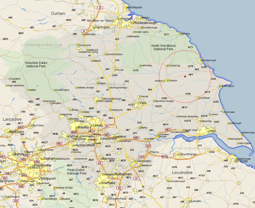
Yorkshire Map Showing Location of East Heslerton
District: Ryedale
Easting: 492478 Northing: 475490
Latitude: 54.17 Longitude: -0.58
 = East Heslerton
Easting: 492478 Northing: 475490
Latitude: 54.17 Longitude: -0.58
= East Heslerton
This East Heslerton map below is supplied by Google. Use the tools in the top left corner to zoom into street level or zoom out for a road map, you may also need to zoom in to see East Heslerton on the map. Click and drag the map to move around. If the map fails to load try and refresh your browser or zoom in or out (+ or -).
Update - it seems Google no longer allow people to use their maps for free! This East Heslerton map sometimes loads and sometimes gives a error. I am working on a solution.
Closest 30 Towns or Cities to East Heslerton (Population over 500)
Yedingham 4.29km Sherburn 4.34km Snainton 5.56km Brompton 5.97km Rillington 7.82km Willerby 8.87km Thornton Dale 11.4km Thornton-le-Dale 11.4km Seamer 12.25km Great Driffield 12.27km Norton 12.4km Eastfield 14.04km Pickering 15.1km Malton 15.22km Cayton 15.92km Scalby 16.22km Scarborough 17.33km Hunmanby 17.36km Wetwang 18.57km Kilham 19.18km Burniston 19.32km Filey 19.74km Driffield 20.3km Cloughton 20.93km Nafferton 21.18km Slingsby 21.78km North Frodingham 23.18km Kirkby Moorside 25.33km Kirby Moorside 25.33km Terrington 25.58km