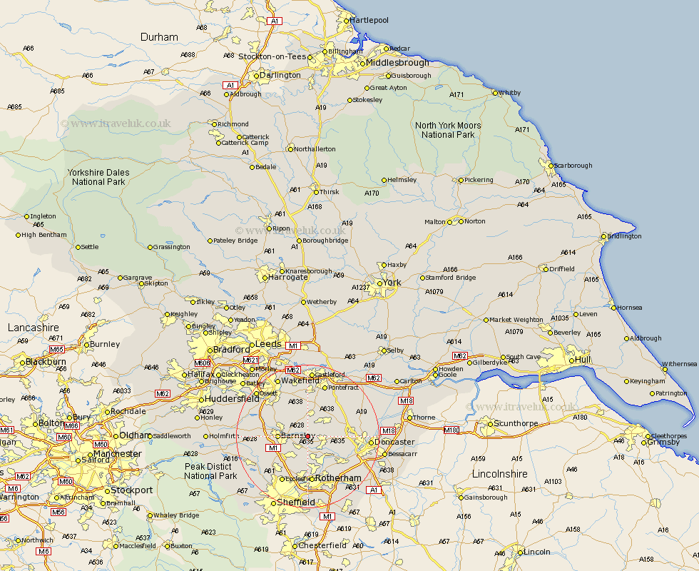
Yorkshire Map Showing Location of Little Houghton
Population: 618
District: Barnsley
Easting: 441956 Northing: 406143
Latitude: 53.55 Longitude: -1.37
 = Little Houghton
District: Barnsley
Easting: 441956 Northing: 406143
Latitude: 53.55 Longitude: -1.37
= Little Houghton
This Little Houghton map below is supplied by Google. Use the tools in the top left corner to zoom into street level or zoom out for a road map, you may also need to zoom in to see Little Houghton on the map. Click and drag the map to move around. If the map fails to load try and refresh your browser or zoom in or out (+ or -).
Update - it seems Google no longer allow people to use their maps for free! This Little Houghton map sometimes loads and sometimes gives a error. I am working on a solution.
Closest 30 Towns or Cities to Little Houghton (Population over 500)
Great Houghton 1.1km Houghton 1.1km Darsfield 2.16km Darfield 2.16km Cudworth 3.79km Wombwell 4.31km Dearne 4.78km Shafton 4.96km Wath on Dearne 5.67km Wath upon Dearne 5.67km Wath 5.67km Wath-on-Dearne 5.67km Hemsworth 5.67km Moorthorpe 5.75km South Kirkby 6.34km Brodsworth 6.61km South Elmsall 6.63km Barnsley 7.71km Royston 7.82km Hoyland Nether 7.83km Hoyland 7.83km Swinton 8.12km Worsborough 8.55km Worsbrough 8.55km Ryhill 8.62km Badsworth 8.62km Upton 9.23km Fitzwilliam 9.33km Notton 9.5km Birdwell 9.51km