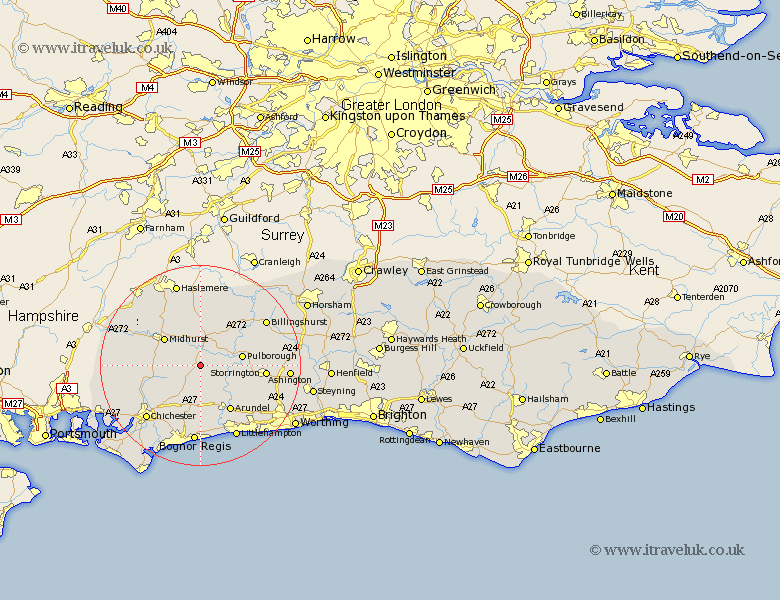
Sussex Map Showing Location of Duneton
District: Chichester
Easting: 496024 Northing: 115822
Latitude: 50.93 Longitude: -0.63
 = Duneton
Easting: 496024 Northing: 115822
Latitude: 50.93 Longitude: -0.63
= Duneton
This Duneton map below is supplied by Google. Use the tools in the top left corner to zoom into street level or zoom out for a road map, you may also need to zoom in to see Duneton on the map. Click and drag the map to move around. If the map fails to load try and refresh your browser or zoom in or out (+ or -).
Update - it seems Google no longer allow people to use their maps for free! This Duneton map sometimes loads and sometimes gives a error. I am working on a solution.
Closest 30 Towns or Cities to Duneton (Population over 500)
Graffham 3.5km Fittleworth 5.03km Tillington 5.68km Bury 5.96km Petworth 6.03km Coldwaltham 7.01km Amberley 7.25km Pulborough 8.38km Midhurst 8.94km Slindon 9.26km Walberton 9.34km Lurgashall 9.56km Boxgrove 10.95km Tangmere 10.95km Arundel 10.95km Kirdford 10.96km Eastergate 11.18km Iping 11.89km Fernhurst 12.56km Oving 12.56km Westergate 12.82km West Chiltington 12.85km West Chillington 12.85km Storrington 12.96km Barnham 12.96km North Chapel 12.98km Northchapel 12.98km Wisborough Green 13.16km Ford 13.43km Plaistow 13.79km