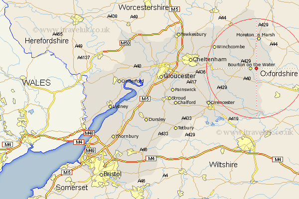
Gloucestershire Map Showing Location of Little Rissington
Population: 238
District: Cotswold
Easting: 419506 Northing: 218767
Latitude: 51.87 Longitude: -1.72
 = Little Rissington
District: Cotswold
Easting: 419506 Northing: 218767
Latitude: 51.87 Longitude: -1.72
= Little Rissington
This Little Rissington map below is supplied by Google. Use the tools in the top left corner to zoom into street level or zoom out for a road map, you may also need to zoom in to see Little Rissington on the map. Click and drag the map to move around. If the map fails to load try and refresh your browser or zoom in or out (+ or -).
Update - it seems Google no longer allow people to use their maps for free! This Little Rissington map sometimes loads and sometimes gives a error. I am working on a solution.
Closest 30 Towns or Cities to Little Rissington (Population over 500)
Bourton-on-the-Water 2.29km Bourton on the Water 2.29km Bledington 6.01km Stow-on-the-Wold 7.49km Stow on the Wold 7.49km Northleach 7.81km Moreton in Marsh 13.02km Moreton in the Marsh 13.02km Moreton-in-Marsh 13.02km Bibury 14.69km Chedworth 15.62km Andoversford 16.02km Withington 16.45km Blockley 16.83km Quenington 17.3km Winchcomb 18.49km Winchcombe 18.49km Lechlade 18.57km Chipping Campden 19.08km Fairford 19.1km Ebrington 20.41km North Cerney 20.47km Ampney St. Peter 21.79km Ampney Saint Peter 21.79km Ampney 21.79km Ampney St Peter 21.79km Kempsford 22.5km Alderton 23.36km Cicester 23.59km Cirencester 23.59km