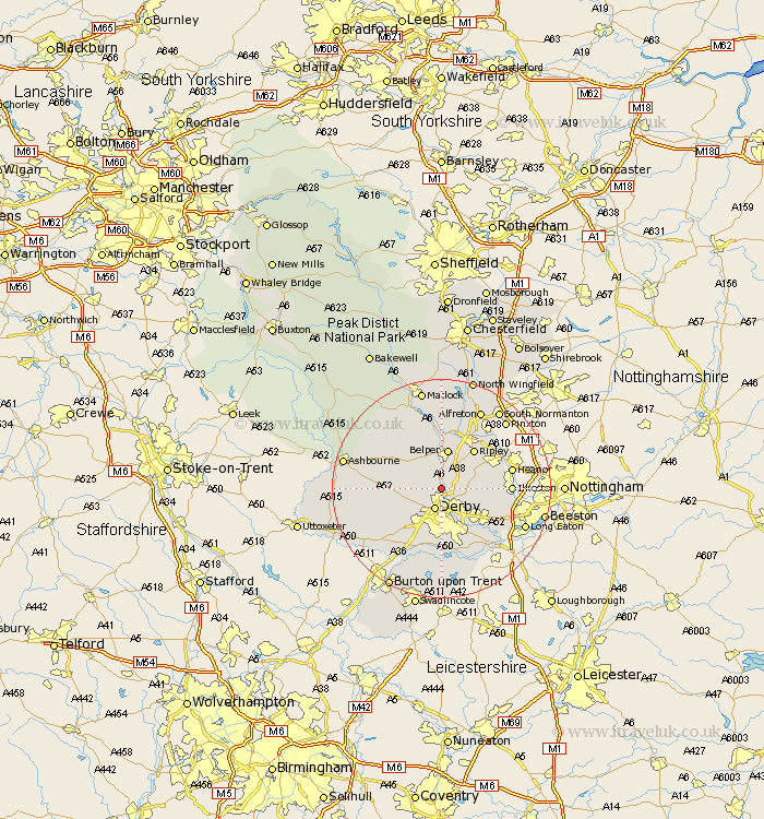
Derbyshire Map Showing Location of Darley Abbey
District: Amber Valley
Easting: 434697 Northing: 341197
Latitude: 52.97 Longitude: -1.48
 = Darley Abbey
Easting: 434697 Northing: 341197
Latitude: 52.97 Longitude: -1.48
= Darley Abbey
This Darley Abbey map below is supplied by Google. Use the tools in the top left corner to zoom into street level or zoom out for a road map, you may also need to zoom in to see Darley Abbey on the map. Click and drag the map to move around. If the map fails to load try and refresh your browser or zoom in or out (+ or -).
Update - it seems Google no longer allow people to use their maps for free! This Darley Abbey map sometimes loads and sometimes gives a error. I am working on a solution.
Closest 30 Towns or Cities to Darley Abbey (Population over 500)
Quarndon 2.17km Little Eaton 2.9km Holbrook 3.87km Derby 3.88km Breadsall 4.33km Kilburn 4.99km Kilbourne 4.99km Kilbourn 4.99km Kirk Langley 6.71km Smalley 6.94km Belper 7.49km Heage 7.73km Denby 7.87km West Hallam 9.12km Brailsford 9.12km Ambergate 9.26km Ambergate Junction Station 9.26km Ripley 9.27km Dale Abbey 9.67km Borrowash 10km Codnor 10.76km Burnaston 10.82km Shipley Gate Station 11.75km Ilkeston 12.28km Swanwick 12.44km Risley 12.48km Heanor 12.82km Crich 12.96km South Wingfield 13.39km Wingfield 13.39km