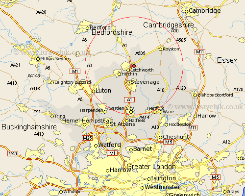
Hertfordshire Map Showing Location of Baldock
Population: 9027
Area Size (ha): 203
District: North Hertfordshire
Easting: 524744 Northing: 233254
Latitude: 51.98 Longitude: -0.18
 = Baldock
Area Size (ha): 203
District: North Hertfordshire
Easting: 524744 Northing: 233254
Latitude: 51.98 Longitude: -0.18
= Baldock
This Baldock map below is supplied by Google. Use the tools in the top left corner to zoom into street level or zoom out for a road map, you may also need to zoom in to see Baldock on the map. Click and drag the map to move around. If the map fails to load try and refresh your browser or zoom in or out (+ or -).
Update - it seems Google no longer allow people to use their maps for free! This Baldock map sometimes loads and sometimes gives a error. I am working on a solution.
Closest 30 Towns or Cities to Baldock (Population over 500)
Letchworth 2.94km Weston 3.87km Graveley 5.68km Ickleford 6km Great Wymondley 6.01km Wymondley 6.01km Ashwell 6.01km Hitchin 6.8km Stevenage 7.75km Walkern 8.16km Cottered 8.82km Therfield 9.85km Pirton 9.86km Aston 11.35km Buntingford 12km Bennington 12.5km Benington 12.5km Royston 12.66km Offley 12.67km Great Offley 12.67km Barkway 13.82km Knebworth 14.82km Datchworth 15km Codicote 15.21km Hormead 15.3km Barley 15.84km Little Munden 15.86km Watton 15.89km Watton at Stone 15.89km Kimpton 16.33km