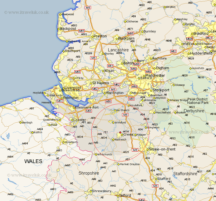
Cheshire Map Showing Location of Church Coppenhall
District: Crewe and Nantwich
Easting: 369884 Northing: 357851
Latitude: 53.12 Longitude: -2.45
 = Church Coppenhall
Easting: 369884 Northing: 357851
Latitude: 53.12 Longitude: -2.45
= Church Coppenhall
This Church Coppenhall map below is supplied by Google. Use the tools in the top left corner to zoom into street level or zoom out for a road map, you may also need to zoom in to see Church Coppenhall on the map. Click and drag the map to move around. If the map fails to load try and refresh your browser or zoom in or out (+ or -).
Update - it seems Google no longer allow people to use their maps for free! This Church Coppenhall map sometimes loads and sometimes gives a error. I am working on a solution.
Closest 30 Towns or Cities to Church Coppenhall (Population over 500)
Crewe 2.16km Wistaston 3.88km Sandbach 5.86km Willaston 5.99km Nantwich 7.12km Middlewick 7.49km Middlewich 7.49km Winsford 8.64km Wybunbury 9.27km Brereton cum Smethwick 9.56km Brereton 9.56km Alsager 10.18km Holmes Chapel 10.8km Rode Heath 11.12km Little Budworth 12.45km Whitegate 12.96km Bunbury 13.35km Davenham 13.71km Hartford 14.58km Tarporley 14.92km Wrenbury cum Frith 14.97km Wrenbury 14.97km Goostrey 15.12km Audlem 15.49km Peover 16.25km Peover Superior 16.25km Cuddington 16.37km Lostock Gralam 16.72km Plumley Station 16.83km Plumbley 16.83km