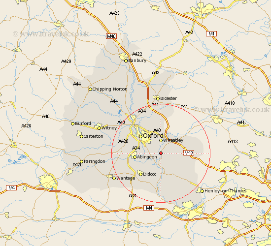
Oxfordshire Map Showing Location of Chislehampton
District: South Oxfordshire
Easting: 459910 Northing: 198688
Latitude: 51.68 Longitude: -1.13
 = Chislehampton
Easting: 459910 Northing: 198688
Latitude: 51.68 Longitude: -1.13
= Chislehampton
This Chislehampton map below is supplied by Google. Use the tools in the top left corner to zoom into street level or zoom out for a road map, you may also need to zoom in to see Chislehampton on the map. Click and drag the map to move around. If the map fails to load try and refresh your browser or zoom in or out (+ or -).
Update - it seems Google no longer allow people to use their maps for free! This Chislehampton map sometimes loads and sometimes gives a error. I am working on a solution.
Closest 30 Towns or Cities to Chislehampton (Population over 500)
Stadhampton 1.85km Garsington 2.18km Drayton Saint Leonard 3.7km Drayton St. Leonard 3.7km Drayton 3.7km Drayton St Leonard 3.7km Cuddesdon 3.71km Great Haseley 4.96km Chalgrove 5.06km Great Milton 5.07km Milton 5.07km Wheatley 5.56km Benson 5.67km Clifton Hampden 5.9km Dorchester 6.02km Littlemore 6.84km Radley 6.89km Tiddington 7.21km Warborough 7.41km Long Wittenham 8.86km Wallingford 9.26km Tetsworth 9.38km Sunningwell 10.34km Ewelme 10.34km Abingdon 10.51km Abingdon-on-Thames 10.51km Abingdon on Thames 10.51km Watlington 10.75km Sutton Courtenay 10.75km Oxford 10.94km