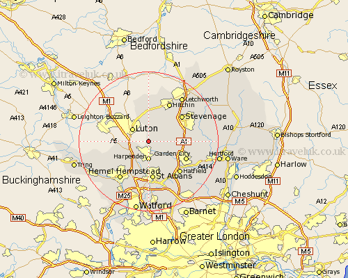
Hertfordshire Map Showing Location of Chiltern Green
District: North Hertfordshire
Easting: 513636 Northing: 218158
Latitude: 51.85 Longitude: -0.35
 = Chiltern Green
Easting: 513636 Northing: 218158
Latitude: 51.85 Longitude: -0.35
= Chiltern Green
This Chiltern Green map below is supplied by Google. Use the tools in the top left corner to zoom into street level or zoom out for a road map, you may also need to zoom in to see Chiltern Green on the map. Click and drag the map to move around. If the map fails to load try and refresh your browser or zoom in or out (+ or -).
Update - it seems Google no longer allow people to use their maps for free! This Chiltern Green map sometimes loads and sometimes gives a error. I am working on a solution.
Closest 30 Towns or Cities to Chiltern Green (Population over 500)
Kimpton 4.58km Harpenden 5.56km Flamstead 6.82km Markyatestreet 7.12km Markyate 7.12km Wheathampstead 7.2km Offley 7.51km Great Offley 7.51km Redbourn 7.76km Codicote 8.01km Welwyn 9.35km Sandridge 9.88km Saint Albans 11.18km St. Albans 11.18km St Albans 11.18km Pirton 11.35km Knebworth 11.45km Garden City 11.71km Welwyn Garden City 11.71km Stevenage 11.78km Hitchin 12.5km Hatfield 12.56km Great Gaddesden 12.7km Wymondley 13.02km Great Wymondley 13.02km Hemel Hempstead 13.71km Datchworth 13.74km Graveley 13.85km Ickleford 14.18km Aston 14.22km