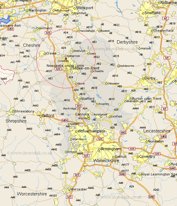
Staffordshire Map Showing Location of Chatterley
Easting: 384366 Northing: 352221
Latitude: 53.07 Longitude: -2.23
 = Chatterley
Latitude: 53.07 Longitude: -2.23
= Chatterley
This Chatterley map below is supplied by Google. Use the tools in the top left corner to zoom into street level or zoom out for a road map, you may also need to zoom in to see Chatterley on the map. Click and drag the map to move around. If the map fails to load try and refresh your browser or zoom in or out (+ or -).
Update - it seems Google no longer allow people to use their maps for free! This Chatterley map sometimes loads and sometimes gives a error. I am working on a solution.
Closest 30 Towns or Cities to Chatterley (Population over 500)
Kidsgrove 1.85km Audley 4.83km Silverdale 6.49km Biddulph 7.12km Newcastle under Lyme 7.42km Newcastle-under-Lyme 7.42km Endon 8.01km Stoke upon Trent 8.14km Stoke 8.14km Stoke-upon-Trent 8.14km Stoke on Trent 8.14km Stoke-on-Trent 8.14km Keele 8.14km Betley 9.66km Madeley 9.99km Horton 11.46km Whitmore 11.61km Cheddleton 13.49km Barlaston 13.72km Caverswall 14.5km Leek 14.94km Swinnerton 16.72km Swynnerton 16.72km Standon 17.01km Fulford 17.11km Draycott in the Moors 17.4km Draycott 17.4km Kingsley 17.61km Ipstones 18.21km Cheadle 19.12km