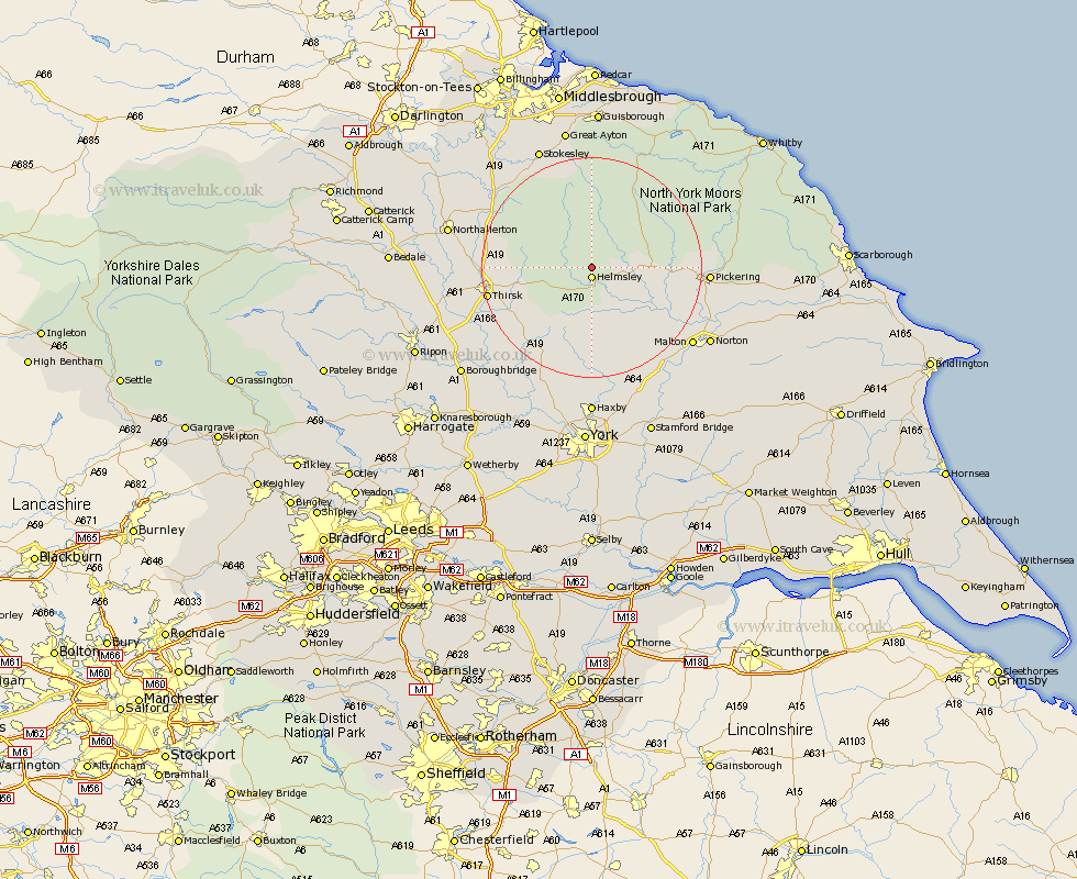
Yorkshire Map Showing Location of Carlton
Population: 301
District: Ryedale
Easting: 460780 Northing: 486090
Latitude: 54.27 Longitude: -1.07
 = Carlton
District: Ryedale
Easting: 460780 Northing: 486090
Latitude: 54.27 Longitude: -1.07
= Carlton
This Carlton map below is supplied by Google. Use the tools in the top left corner to zoom into street level or zoom out for a road map, you may also need to zoom in to see Carlton on the map. Click and drag the map to move around. If the map fails to load try and refresh your browser or zoom in or out (+ or -).
Update - it seems Google no longer allow people to use their maps for free! This Carlton map sometimes loads and sometimes gives a error. I am working on a solution.
Closest 30 Towns or Cities to Carlton (Population over 500)
Helmsley 1.86km Nawton 6.57km Ampleforth 8.1km Kirby Moorside 8.66km Kirkby Moorside 8.66km Slingsby 16.23km Terrington 17.9km Thirsk 18.2km Ingleby 18.65km Osmotherley 18.78km Easingwold 18.8km Stillington 18.82km Raskelf 19.03km Pickering 19.57km Whorlton 20.48km Huby 20.85km Sheriff Hutton 20.85km Great Broughton 21.39km Malton 22.33km Topcliffe 22.58km Thornton Dale 23.04km Thornton-le-Dale 23.04km Alne 23.1km Stokesley 23.86km Strensall 24.19km Seamer 24.27km Norton 24.28km Tollerton 24.29km Brompton 24.52km Northallerton 24.92km