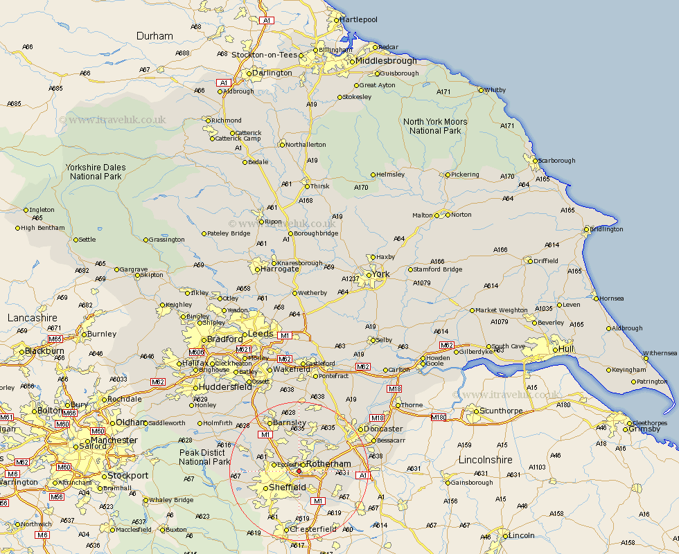
Yorkshire Map Showing Location of Canklow
District: Rotherham
Easting: 442088 Northing: 391315
Latitude: 53.42 Longitude: -1.37
 = Canklow
Easting: 442088 Northing: 391315
Latitude: 53.42 Longitude: -1.37
= Canklow
This Canklow map below is supplied by Google. Use the tools in the top left corner to zoom into street level or zoom out for a road map, you may also need to zoom in to see Canklow on the map. Click and drag the map to move around. If the map fails to load try and refresh your browser or zoom in or out (+ or -).
Update - it seems Google no longer allow people to use their maps for free! This Canklow map sometimes loads and sometimes gives a error. I am working on a solution.
Closest 30 Towns or Cities to Canklow (Population over 500)
Rotherdam 2.15km Rotherham 2.15km Whiston 2.89km Orgreave 3.71km Treeton 3.88km Rawmarsh 4.31km Wickersley 5.52km Thrybergh 5.76km Wentworth 6.47km Bramley 6.63km Ecclesfield 6.88km Brampton en le Morthern 7.6km Brampton en le Morthen 7.6km Brampton 7.6km Swinton 8.11km Aston 8.63km Wath on Dearne 9.33km Wath 9.33km Wath upon Dearne 9.33km Wath-on-Dearne 9.33km Beighton 9.53km Tankersley 9.93km Mexborough 9.93km Sheffield 10.44km Todwick 10.72km Hoyland 10.78km Hoyland Nether 10.78km Wales 10.8km Maltby 11.05km Braithwell 11.2km