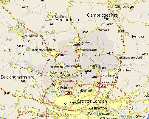
Hertfordshire Map Showing Location of London Colney
Population: 7742
District: St Albans
Easting: 518577 Northing: 203442
Latitude: 51.72 Longitude: -0.28
 = London Colney
District: St Albans
Easting: 518577 Northing: 203442
Latitude: 51.72 Longitude: -0.28
= London Colney
This London Colney map below is supplied by Google. Use the tools in the top left corner to zoom into street level or zoom out for a road map, you may also need to zoom in to see London Colney on the map. Click and drag the map to move around. If the map fails to load try and refresh your browser or zoom in or out (+ or -).
Update - it seems Google no longer allow people to use their maps for free! This London Colney map sometimes loads and sometimes gives a error. I am working on a solution.
Closest 30 Towns or Cities to London Colney (Population over 500)
North Mymms 2.3km Colney Heath 2.95km Shenley 3.89km Radlett 4.37km St. Albans 5.06km St Albans 5.06km Saint Albans 5.06km Sandridge 5.68km Hatfield 6.79km Brookmans Park 7.13km Aldenham 7.21km Borehamwood 7.51km Potters Bar 8.86km Wheathampstead 9.26km Elstree 9.27km Abbots Langley 9.37km Bishops Hatfield 9.77km Watford 9.78km Essendon 9.9km Redbourn 10.11km Harpenden 10.34km Bushey 10.35km Welwyn Garden City 10.89km Garden City 10.89km Cuffley 11.63km Kings Langley 11.63km Hemel Hempstead 13.16km Welwyn 13.75km Chipperfield 13.91km Sarratt 14.28km