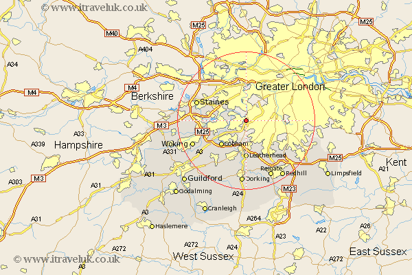
Surrey Map Showing Location of Long Ditton
District: Elmbridge
Easting: 517127 Northing: 166320
Latitude: 51.38 Longitude: -0.32
 = Long Ditton
Easting: 517127 Northing: 166320
Latitude: 51.38 Longitude: -0.32
= Long Ditton
This Long Ditton map below is supplied by Google. Use the tools in the top left corner to zoom into street level or zoom out for a road map, you may also need to zoom in to see Long Ditton on the map. Click and drag the map to move around. If the map fails to load try and refresh your browser or zoom in or out (+ or -).
Update - it seems Google no longer allow people to use their maps for free! This Long Ditton map sometimes loads and sometimes gives a error. I am working on a solution.
Closest 30 Towns or Cities to Long Ditton (Population over 500)
Molesey 2.96km Claygate 4.37km Esher 5.08km Sunbury on Thames 6.07km Sunbury-on-Thames 6.07km Lower Sunbury 6.07km Sunbury 6.07km Oxshott 7.76km Walton 8.1km Walton upon Thames 8.1km Shepperton 9.25km Cobham 10.15km Church Cobham 10.15km Weybridge 10.57km Leatherhead 11.12km Addlestone 11.72km Byfleet 11.81km Tadworth 12.54km Chertsey 12.72km Banstead 12.78km Mickleham 14.83km Staines 14.94km Ottershaw 15.49km Effingham 15.92km West Horsley 15.94km Ripley 16.06km Woking 16.77km Horsley 16.9km East Horsley 16.9km Betchworth 17.31km