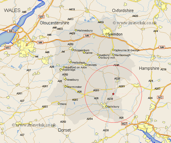
Wiltshire Map Showing Location of Boscombe
District: Salisbury
Easting: 419815 Northing: 139067
Latitude: 51.15 Longitude: -1.72
 = Boscombe
Easting: 419815 Northing: 139067
Latitude: 51.15 Longitude: -1.72
= Boscombe
This Boscombe map below is supplied by Google. Use the tools in the top left corner to zoom into street level or zoom out for a road map, you may also need to zoom in to see Boscombe on the map. Click and drag the map to move around. If the map fails to load try and refresh your browser or zoom in or out (+ or -).
Update - it seems Google no longer allow people to use their maps for free! This Boscombe map sometimes loads and sometimes gives a error. I am working on a solution.
Closest 30 Towns or Cities to Boscombe (Population over 500)
Idmiston 1.86km Amesbury 5.01km Durrington 5.09km Winterbourne Dauntsey 6.03km Winterbourne 6.03km Bulford 6.56km Lugershall 7.25km Ludgershall 7.25km Lark Hill 7.9km Winterslow 8.2km Figheldean 8.75km Tidworth 9.9km North Tidworth 9.9km Netheravon 10.36km New Sarum 10.37km Salisbury 10.37km Farley 11.36km South Newton 11.85km Enford 12.54km Wilton 12.83km Alderbury 13.03km Shrewton 13.31km Britford 13.44km Odstock 13.79km Longford 15.23km Steeple Langford 15.23km Collingbourne Ducis 15.53km Combebissett 15.97km Coombe Bissett 15.97km Upavon 16.38km