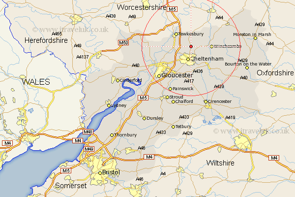
Gloucestershire Map Showing Location of Bishops Cleeve
Population: 9903
Area Size (ha): 252
District: Tewkesbury
Easting: 395418 Northing: 227995
Latitude: 51.95 Longitude: -2.07
 = Bishops Cleeve
Area Size (ha): 252
District: Tewkesbury
Easting: 395418 Northing: 227995
Latitude: 51.95 Longitude: -2.07
= Bishops Cleeve
This Bishops Cleeve map below is supplied by Google. Use the tools in the top left corner to zoom into street level or zoom out for a road map, you may also need to zoom in to see Bishops Cleeve on the map. Click and drag the map to move around. If the map fails to load try and refresh your browser or zoom in or out (+ or -).
Update - it seems Google no longer allow people to use their maps for free! This Bishops Cleeve map sometimes loads and sometimes gives a error. I am working on a solution.
Closest 30 Towns or Cities to Bishops Cleeve (Population over 500)
Southam 2.18km Swindon 2.94km Cheltenham 5.68km Alderton 5.88km Ashchurch 6.53km Staverton 7.79km Tewkesbury 7.97km Winchcombe 8km Winchcomb 8km Charlton Kings 9.26km Deerhurst 9.32km Leckhampton 9.33km Shurdington 9.88km Dumbleton 10.1km Churchdown 10.1km Innsworth 11.77km Andoversford 12.24km Brockworth 13.07km Hucclecote 13.7km Ashleworth 13.83km Withington 15.25km Corse 16.1km Hartpury 16.42km Gloucester 18.07km Chedworth 19.6km Redmarley D'Abitot 19.76km Painswick 20.19km Tibberton 20.21km Quedgeley 21km Chipping Campden 21.5km