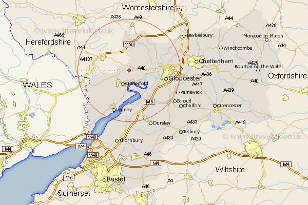
Gloucestershire Map Showing Location of Longhope
Population: 1474
District: Forest of Dean
Easting: 369018 Northing: 218824
Latitude: 51.87 Longitude: -2.45
 = Longhope
District: Forest of Dean
Easting: 369018 Northing: 218824
Latitude: 51.87 Longitude: -2.45
= Longhope
This Longhope map below is supplied by Google. Use the tools in the top left corner to zoom into street level or zoom out for a road map, you may also need to zoom in to see Longhope on the map. Click and drag the map to move around. If the map fails to load try and refresh your browser or zoom in or out (+ or -).
Update - it seems Google no longer allow people to use their maps for free! This Longhope map sometimes loads and sometimes gives a error. I am working on a solution.
Closest 30 Towns or Cities to Longhope (Population over 500)
Milcheldean 2.29km Mitcheldean 2.29km Huntley 3.43km Drybrook 3.9km Cinderford 6.02km Newham 7.5km Newnham 7.5km Tibberton 7.8km Newent 8.16km Lydbrook 9.34km Awre 11.18km Hartpury 11.7km Hardwicke 11.71km Frampton-on-Severn 12.51km Frampton 12.51km Frampton on Severn 12.51km Corse 12.68km Coleford 12.7km Quedgeley 12.73km Dymock 13.02km Gloucester 14.23km Ashleworth 14.6km Redmarley D'Abitot 14.67km Staunton 14.82km Bream 15.26km Newland 16.58km Innsworth 17.26km Slimbridge 17.3km Stonehouse 17.31km Lydney 17.64km