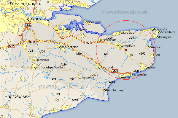
Kent Map Showing Location of Bekesbourne
District: Canterbury
Easting: 618636 Northing: 154813
Latitude: 51.25 Longitude: 1.13
 = Bekesbourne
Easting: 618636 Northing: 154813
Latitude: 51.25 Longitude: 1.13
= Bekesbourne
This Bekesbourne map below is supplied by Google. Use the tools in the top left corner to zoom into street level or zoom out for a road map, you may also need to zoom in to see Bekesbourne on the map. Click and drag the map to move around. If the map fails to load try and refresh your browser or zoom in or out (+ or -).
Update - it seems Google no longer allow people to use their maps for free! This Bekesbourne map sometimes loads and sometimes gives a error. I am working on a solution.
Closest 30 Towns or Cities to Bekesbourne (Population over 500)
Bridge 2.19km Littlebourne 2.97km Sturry 3.88km Lower Hardres 5km Hackington 5.08km Canterbury 5.12km Wingham 6.09km Petham 6.88km Harbledown 7.88km Blean 8.03km Chartham 8.12km Staple 8.12km Stelling 8.75km Preston 8.9km Hoath 9.55km Shepherdswell 10.17km Sibertswold 10.17km Chislet 10.36km Dunkirk 11.07km Elham 11.18km Broomfield 11.33km Eastry 11.75km Chilham 11.75km Chestfield 12.05km Coldred 12.32km Eythorne 12.81km Whitstable 12.86km Herne Bay 12.98km Swingfield 13.44km St Nicholas at Wade 13.76km