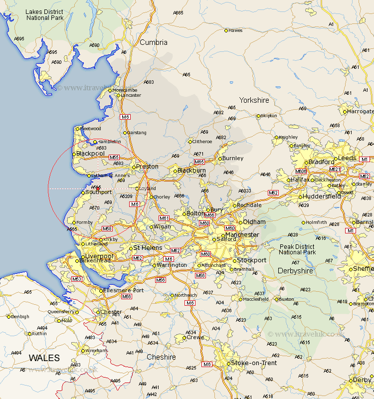
Lancashire Map Showing Location of Banks
Population: 3248
Area Size (ha): 119
District: West Lancashire
Easting: 339464 Northing: 421175
Latitude: 53.68 Longitude: -2.92
 = Banks
Area Size (ha): 119
District: West Lancashire
Easting: 339464 Northing: 421175
Latitude: 53.68 Longitude: -2.92
= Banks
This Banks map below is supplied by Google. Use the tools in the top left corner to zoom into street level or zoom out for a road map, you may also need to zoom in to see Banks on the map. Click and drag the map to move around. If the map fails to load try and refresh your browser or zoom in or out (+ or -).
Update - it seems Google no longer allow people to use their maps for free! This Banks map sometimes loads and sometimes gives a error. I am working on a solution.
Closest 30 Towns or Cities to Banks (Population over 500)
Banks 0km Southport 5.79km Tarleton 5.79km Lytham St Anne's 6.46km Lytham Saint Anne's 6.46km Lytham 6.46km Lytham St. Anne's 6.46km Bretherton 7.9km Much Hoole 7.9km Hoole 7.9km Freckleton 8.11km Longton 8.53km Rufford 9.22km Scarisbrick 9.33km Warton 9.53km Croston 10.55km Plumpton 11.17km Hutton 11.33km Halsall 11.33km Kirkham 11.6km Lea 12.04km Lea Town 12.04km Mawdesley 12.35km Burscough 12.4km Penrith 12.63km Ormskirk 13.01km Penwortham 14.16km Leyland 14.27km Eccleston 14.3km Lathom 14.55km