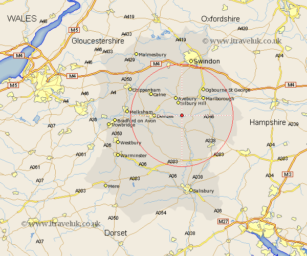
Wiltshire Map Showing Location of Alton Priors
District: Kennet
Easting: 411605 Northing: 161282
Latitude: 51.35 Longitude: -1.83
 = Alton Priors
Easting: 411605 Northing: 161282
Latitude: 51.35 Longitude: -1.83
= Alton Priors
This Alton Priors map below is supplied by Google. Use the tools in the top left corner to zoom into street level or zoom out for a road map, you may also need to zoom in to see Alton Priors on the map. Click and drag the map to move around. If the map fails to load try and refresh your browser or zoom in or out (+ or -).
Update - it seems Google no longer allow people to use their maps for free! This Alton Priors map sometimes loads and sometimes gives a error. I am working on a solution.
Closest 30 Towns or Cities to Alton Priors (Population over 500)
Pewsey 6.08km Upavon 7.5km Bishops Cannings 8.31km Urchfont 8.9km Devizes 10.42km Roundway 10.58km Marlborough 10.98km Cherhill 10.98km Enford 11.36km Burbage 11.72km Lavington 12.79km Market Lavington 12.79km Potterne 13.26km Netheravon 13.43km Rowde 13.89km Grafton 14.02km Collingbourne Ducis 14.74km Calne 14.82km Broad Hinton 14.82km Broad Town 15km Figheldean 15.23km Hillmarton 15.93km Hilmarton 15.93km West Lavington 16.06km Bedwyn 16.31km Great Bedwyn 16.31km Worton 16.63km Bulford 17.31km Seend 17.36km North Tidworth 17.4km