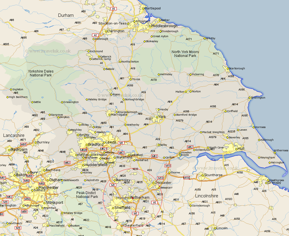
Yorkshire Map Showing Location of Aldwark
District: Rotherham
Easting: 445393 Northing: 393192
Latitude: 53.43 Longitude: -1.32
 = Aldwark
Easting: 445393 Northing: 393192
Latitude: 53.43 Longitude: -1.32
= Aldwark
This Aldwark map below is supplied by Google. Use the tools in the top left corner to zoom into street level or zoom out for a road map, you may also need to zoom in to see Aldwark on the map. Click and drag the map to move around. If the map fails to load try and refresh your browser or zoom in or out (+ or -).
Update - it seems Google no longer allow people to use their maps for free! This Aldwark map sometimes loads and sometimes gives a error. I am working on a solution.
Closest 30 Towns or Cities to Aldwark (Population over 500)
Thrybergh 2.16km Rawmarsh 2.16km Rotherdam 2.21km Rotherham 2.21km Wickersley 2.88km Bramley 3.79km Whiston 3.86km Swinton 5.56km Treeton 5.98km Mexborough 6.47km Brampton en le Morthern 6.47km Brampton en le Morthen 6.47km Brampton 6.47km Orgreave 6.47km Conisborough 7.59km Conisbrough 7.59km Wentworth 7.59km Braithwell 7.73km Wath-on-Dearne 7.74km Wath upon Dearne 7.74km Wath 7.74km Wath on Dearne 7.74km Maltby 7.95km Aston 9.33km Ecclesfield 9.94km Todwick 10.26km Anston 10.45km Sprotboro 10.71km Sprotbrough 10.71km Dinnington 10.71km