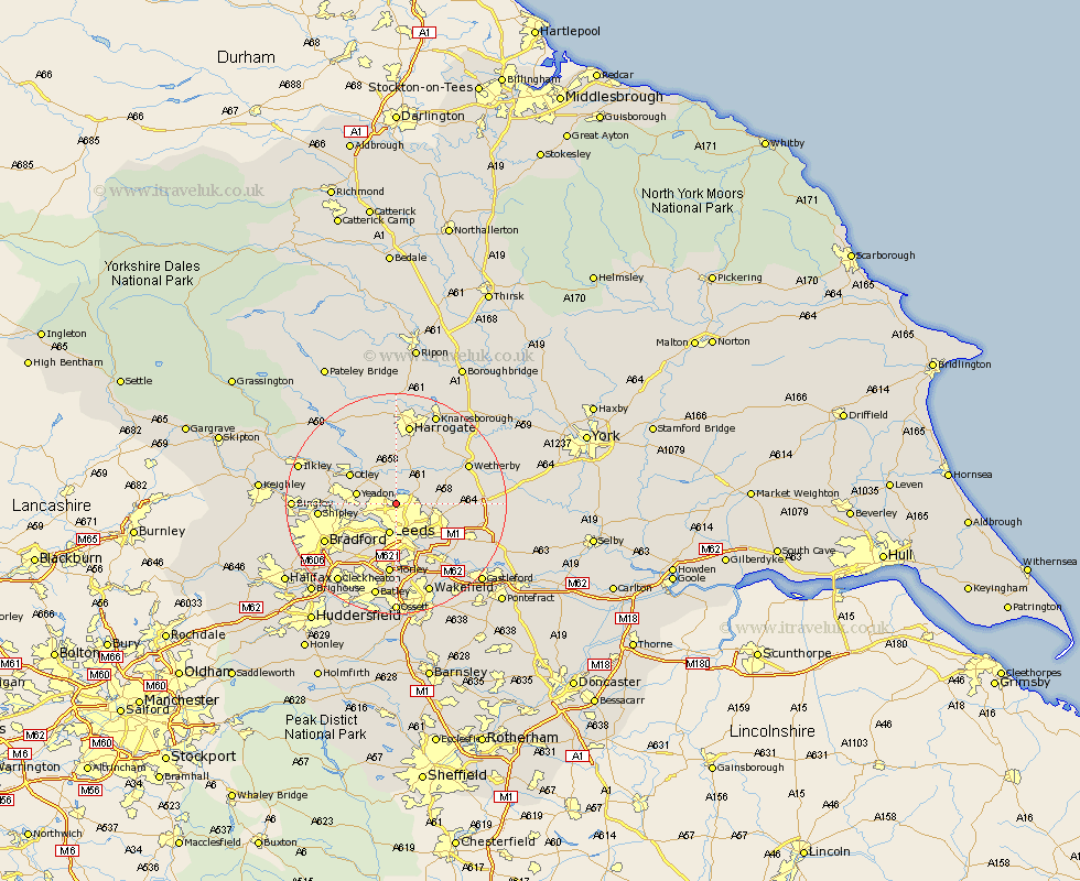
Yorkshire Map Showing Location of Adel
District: Leeds
Easting: 428503 Northing: 439417
Latitude: 53.85 Longitude: -1.57
 = Adel
Easting: 428503 Northing: 439417
Latitude: 53.85 Longitude: -1.57
= Adel
This Adel map below is supplied by Google. Use the tools in the top left corner to zoom into street level or zoom out for a road map, you may also need to zoom in to see Adel on the map. Click and drag the map to move around. If the map fails to load try and refresh your browser or zoom in or out (+ or -).
Update - it seems Google no longer allow people to use their maps for free! This Adel map sometimes loads and sometimes gives a error. I am working on a solution.
Closest 30 Towns or Cities to Adel (Population over 500)
Horsforth 4.75km Bramhope 4.95km Leeds 5.67km Arthington 5.97km Arthington Junction Station 5.97km Pool 6.45km Pool-in-Wharfedale 6.45km Poole 6.45km Yeadon 6.82km Harewood 7.07km Weeton 7.42km Scarcroft 7.87km East Keswick 9.2km Otley 9.45km Bardsey 9.49km Thorner 9.84km Pudsey 9.9km Guiseley 10.01km Scholes 10.52km Pannal 11.33km Menston 11.54km Collingham 12.26km Rothwell 12.39km Morley 13.02km Baildon 13.12km Shipley 13.25km Swillington 13.52km Lofthouse 13.7km Burley 14.12km Burley in Wharfedale 14.12km