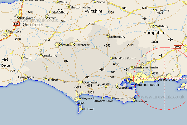
Dorset Map Showing Location of Highcliffe
District: Christchurch
Easting: 421754 Northing: 93363
Latitude: 50.74 Longitude: -1.69
 = Highcliffe
Easting: 421754 Northing: 93363
Latitude: 50.74 Longitude: -1.69
= Highcliffe
This Highcliffe map below is supplied by Google. Use the tools in the top left corner to zoom into street level or zoom out for a road map, you may also need to zoom in to see Highcliffe on the map. Click and drag the map to move around. If the map fails to load try and refresh your browser or zoom in or out (+ or -).
Update - it seems Google no longer allow people to use their maps for free! This Highcliffe map sometimes loads and sometimes gives a error. I am working on a solution.
Closest 30 Towns or Cities to Highcliffe (Population over 500)
Burton 4.15km Christchurch 5.31km Parley 12.69km West Parley 12.69km Bournemouth 13.71km Ferndown 14.06km Fern Down 14.06km St Leonards 15.3km St. Leonards 15.3km Saint Leonards 15.3km West Moors 17.01km Verwood 18.79km Studland 20.68km Poole 21.84km Horton 21.96km Wimborne Minster 21.98km Wimborne 21.98km Alderholt 22.13km Cranborne 23.89km Arne 24.44km Corfe Mullen 24.53km Swanage 24.78km Lytchett Matravers 26.41km Sturminster Marshall 26.83km Langton Matravers 27.63km Holton Heath Station 27.68km Holton Heath 27.68km Corfe Castle 27.84km Worth Matravers 28.61km Worth 28.61km