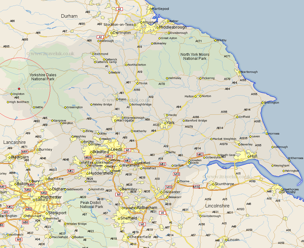
Yorkshire Map Showing Location of Weathercote
District: Craven
Easting: 373898 Northing: 476484
Latitude: 54.18 Longitude: -2.4
 = Weathercote
Easting: 373898 Northing: 476484
Latitude: 54.18 Longitude: -2.4
= Weathercote
This Weathercote map below is supplied by Google. Use the tools in the top left corner to zoom into street level or zoom out for a road map, you may also need to zoom in to see Weathercote on the map. Click and drag the map to move around. If the map fails to load try and refresh your browser or zoom in or out (+ or -).
Update - it seems Google no longer allow people to use their maps for free! This Weathercote map sometimes loads and sometimes gives a error. I am working on a solution.
Closest 30 Towns or Cities to Weathercote (Population over 500)
Ingleton 5.71km Clapham 9.33km Burton in Lonsdale 10.31km High Bentham 11.32km Bentham 11.32km Settle 15.61km Giggleswick 17.18km Hawes 18.36km Long Preston 22.61km Hellifield 25.25km Bradley 28.43km Threshfield 29.05km Gargrave 29.62km Grassington 30.09km Skipton 34.72km Earby 34.94km Carleton 35.98km Carlton 35.98km Embsay 36.32km Cononley 38.79km Middleham 39.51km Leyburn 40.06km Glusburn 40.92km Bewerley 42.73km Sutton-in-Craven 43.05km Addingham 43.7km Silsden 43.83km Steeton 44.45km Keighley 45.92km Dacre 46.94km