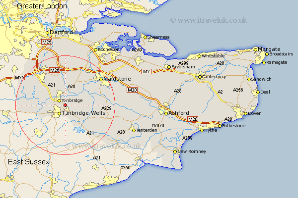
Kent Map Showing Location of Tudeley
District: Tonbridge and Malling
Easting: 561951 Northing: 143437
Latitude: 51.17 Longitude: 0.32
 = Tudeley
Easting: 561951 Northing: 143437
Latitude: 51.17 Longitude: 0.32
= Tudeley
This Tudeley map below is supplied by Google. Use the tools in the top left corner to zoom into street level or zoom out for a road map, you may also need to zoom in to see Tudeley on the map. Click and drag the map to move around. If the map fails to load try and refresh your browser or zoom in or out (+ or -).
Update - it seems Google no longer allow people to use their maps for free! This Tudeley map sometimes loads and sometimes gives a error. I am working on a solution.
Closest 30 Towns or Cities to Tudeley (Population over 500)
Tonbridge 2.97km Pembury 3.71km Royal Tunbridge Wells 4.38km Turnbridge Wells 4.38km Tunbridge Wells 4.38km Paddock Wood 4.65km Hadlow 5.68km East Peckham 5.94km Bidborough 6.1km Southborough 6.1km Hildenborough 6.89km Brenchley 6.9km Leigh 7.21km Speldhurst 7.9km Penshurst 9.3km Plaxtol 9.34km Yalding 9.85km Horsmonden 9.86km Mereworth 9.9km Lamberhurst 10.37km Weald 10.83km Wateringbury 11.59km Goudhurst 11.9km Hunton 12.19km Chiddingstone 12.78km Marden 12.78km Borough Green 13.02km Offham 13.43km East Malling 13.77km Sevenoaks 13.77km