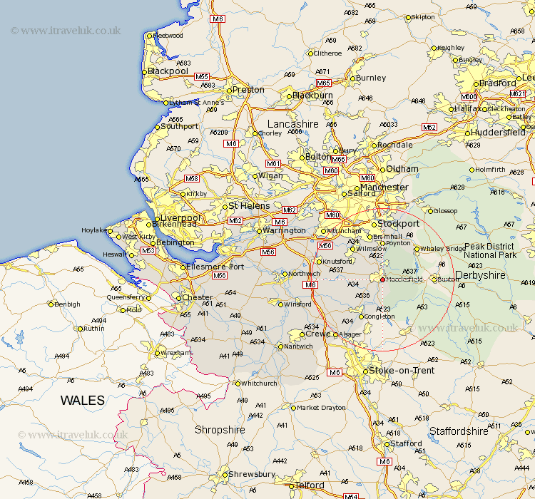
Cheshire Map Showing Location of Macclesfield
Population: 49247
Area Size (ha): 1221
District: Macclesfield
Easting: 392216 Northing: 372591
Latitude: 53.25 Longitude: -2.12
 = Macclesfield
Area Size (ha): 1221
District: Macclesfield
Easting: 392216 Northing: 372591
Latitude: 53.25 Longitude: -2.12
= Macclesfield
This Macclesfield map below is supplied by Google. Use the tools in the top left corner to zoom into street level or zoom out for a road map, you may also need to zoom in to see Macclesfield on the map. Click and drag the map to move around. If the map fails to load try and refresh your browser or zoom in or out (+ or -).
Update - it seems Google no longer allow people to use their maps for free! This Macclesfield map sometimes loads and sometimes gives a error. I am working on a solution.
Closest 30 Towns or Cities to Macclesfield (Population over 500)
Prestburg 4.32km Prestbury 4.32km Rainow 4.98km Gawsworth 4.98km Bollington 5.99km Adlington 7.5km Alderley 8.6km Nether Alderley 8.6km Alderley Edge 9.54km Chelford 10.15km Poynton 11.12km Wilmslow 12.08km Congleton 12.43km Disley 13.39km Bramhall 13.39km Goostrey 14.54km Hazel Grove 14.82km Mobberley 15.22km Peover 15.52km Peover Superior 15.52km Stockport 16.83km Marple 17.01km Brereton cum Smethwick 17.15km Brereton 17.15km Knutsford 17.53km Holmes Chapel 17.55km Cheadle 17.95km Rode Heath 18.52km Bredbury 18.54km Romiley 18.67km