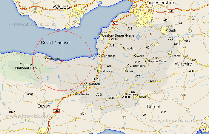
Somerset Map Showing Location of Saint Decumans
District: West Somerset
Easting: 306820 Northing: 143577
Latitude: 51.18 Longitude: -3.33
 = Saint Decumans
Easting: 306820 Northing: 143577
Latitude: 51.18 Longitude: -3.33
= Saint Decumans
This Saint Decumans map below is supplied by Google. Use the tools in the top left corner to zoom into street level or zoom out for a road map, you may also need to zoom in to see Saint Decumans on the map. Click and drag the map to move around. If the map fails to load try and refresh your browser or zoom in or out (+ or -).
Update - it seems Google no longer allow people to use their maps for free! This Saint Decumans map sometimes loads and sometimes gives a error. I am working on a solution.
Closest 30 Towns or Cities to Saint Decumans (Population over 500)
Watchet 1.85km Carhampton 5.81km Williton 6.03km Stogumber 6.03km Minehead 10.62km Nether Stowey 12.2km Stogursey 13.94km Stoke Courcy 13.94km Stokscourey 13.94km Bishops Lydeard 16.66km Wiveliscombe 16.72km Spaxton 16.83km Otterhampton 17.43km Dunster 17.52km Milverton 19.42km Kingston 19.92km Oake 20.73km Norton Fitzwarren 21.02km Durleigh 21.1km Taunton 22.52km Dulverton 22.52km Brushford 23.2km Pawlett 23.23km Porlock 23.3km Burnham on Sea 23.88km Burnham 23.88km Burnham-on-Sea 23.88km Berrow 23.92km North Petherton 23.95km Bridgwater 24.4km