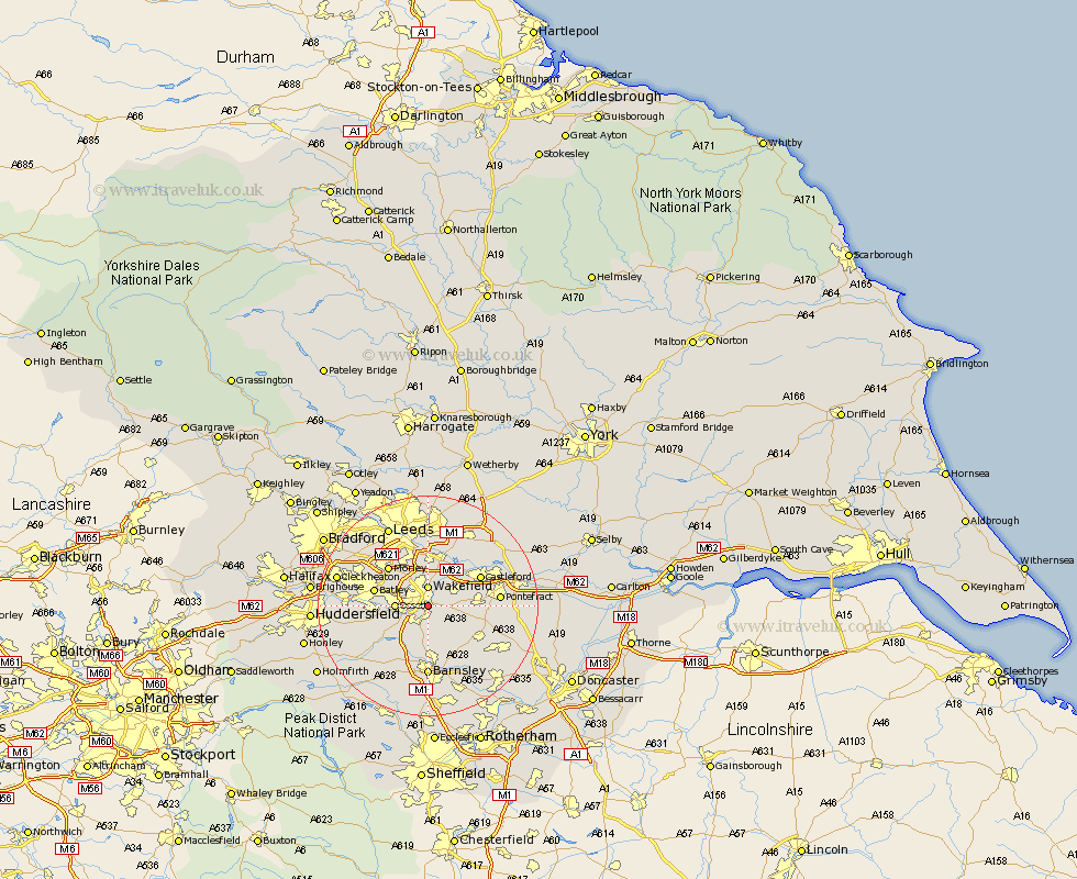
Yorkshire Map Showing Location of Sandah And Walton
Population: 217
District: Wakefield
Easting: 434134 Northing: 419062
Latitude: 53.67 Longitude: -1.48
 = Sandah And Walton
District: Wakefield
Easting: 434134 Northing: 419062
Latitude: 53.67 Longitude: -1.48
= Sandah And Walton
This Sandah And Walton map below is supplied by Google. Use the tools in the top left corner to zoom into street level or zoom out for a road map, you may also need to zoom in to see Sandah And Walton on the map. Click and drag the map to move around. If the map fails to load try and refresh your browser or zoom in or out (+ or -).
Update - it seems Google no longer allow people to use their maps for free! This Sandah And Walton map sometimes loads and sometimes gives a error. I am working on a solution.
Closest 30 Towns or Cities to Sandah And Walton (Population over 500)
Stanley 3.7km Wakefield 3.7km Horbury 4.39km Crofton 4.77km Crigglestone 4.96km Ossett 5.49km Normanton 5.74km Ryhill 6.46km Notton 7.42km Lofthouse 7.49km Fitzwilliam 7.56km Royston 7.73km Woolley 7.74km Bretton 7.82km West Bretton 7.82km Middlestown 7.91km Middletown 7.91km Featherstone 8.53km Rothwell 9.26km Dewsbury 9.53km Drewsbury 9.53km Batley 9.57km Darton 9.84km Morley 9.91km Ackworth Moor Top 10.06km High Ackworth 10.06km Ackworth 10.06km Shafton 10.26km Castleford 10.39km Emley 11.34km