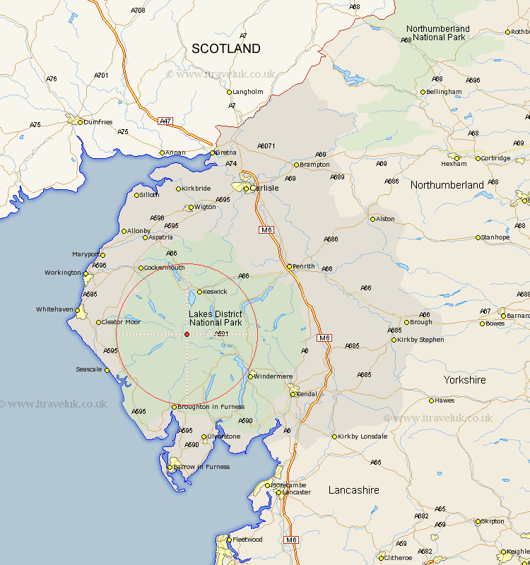
Cumbria Map Showing Location of Seathwaite
District: South Lakeland
Easting: 324422 Northing: 510413
Latitude: 54.48 Longitude: -3.17
 = Seathwaite
Easting: 324422 Northing: 510413
Latitude: 54.48 Longitude: -3.17
= Seathwaite
This Seathwaite map below is supplied by Google. Use the tools in the top left corner to zoom into street level or zoom out for a road map, you may also need to zoom in to see Seathwaite on the map. Click and drag the map to move around. If the map fails to load try and refresh your browser or zoom in or out (+ or -).
Update - it seems Google no longer allow people to use their maps for free! This Seathwaite map sometimes loads and sometimes gives a error. I am working on a solution.
Closest 30 Towns or Cities to Seathwaite (Population over 500)
Koswick 13.37km Keswick 13.37km Coniston 14.49km Conistan 14.49km Ambleside 14.9km Hawkshead 16.86km Lamplugh 17.68km Gosforth 19.57km Windermere 20.73km Frizington 21.18km Dean 21.55km Egremont 22.69km Cleator Moor 22.9km Seascale 23.3km Cockermouth 23.57km Brigham 24.56km Colton 25.24km Bridekirk 25.7km Staveley 26.09km Dacre 26.12km Distington 26.14km Greystoke 26.79km Bootle 27.35km Parton 28.44km Caldbeck 28.8km Whitehaven 28.94km Lowca 29.09km Saint Bees 29.12km Saint Bega 29.12km St Bega 29.12km