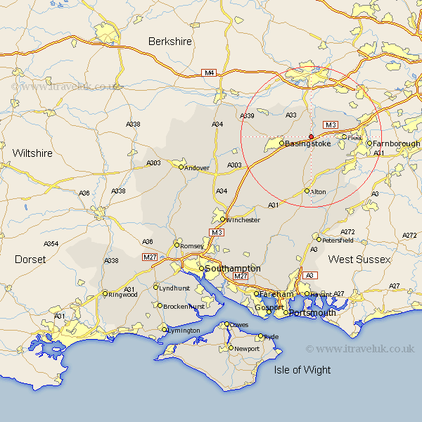
Hampshire Map Showing Location of Rotherwick
Population: 554
District: Hart
Easting: 472058 Northing: 154359
Latitude: 51.28 Longitude: -0.97
 = Rotherwick
District: Hart
Easting: 472058 Northing: 154359
Latitude: 51.28 Longitude: -0.97
= Rotherwick
This Rotherwick map below is supplied by Google. Use the tools in the top left corner to zoom into street level or zoom out for a road map, you may also need to zoom in to see Rotherwick on the map. Click and drag the map to move around. If the map fails to load try and refresh your browser or zoom in or out (+ or -).
Update - it seems Google no longer allow people to use their maps for free! This Rotherwick map sometimes loads and sometimes gives a error. I am working on a solution.
Closest 30 Towns or Cities to Rotherwick (Population over 500)
Hook 2.18km Sherfield 3.94km Sherfield upon Loddon 3.94km Odiham 4.37km Basing 4.99km Winchfield 6.08km Hartley Wintney 6.09km Upton Grey 7.76km Long Sutton 7.76km Bramley 7.88km Basingstoke 8.32km Fleet 9.27km Silchester 10.16km Crondall 10.99km Bentley 13.12km Blackwater 13.28km Froyle 13.42km Tadley 13.75km Aldershot 14.4km Baughurst 14.97km Oakley 15.52km Dummer 15.77km Binsted 15.92km Farnborough 16.34km Alton 16.72km North Waltham 17.7km Four Marks 19.41km Kingsley 19.79km Medstead 19.79km Kingsclere 20.05km