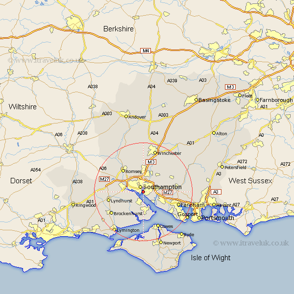
Hampshire Map Showing Location of Itchen
Population: 1267
District: Winchester
Easting: 443360 Northing: 111411
Latitude: 50.9 Longitude: -1.38
 = Itchen
District: Winchester
Easting: 443360 Northing: 111411
Latitude: 50.9 Longitude: -1.38
= Itchen
This Itchen map below is supplied by Google. Use the tools in the top left corner to zoom into street level or zoom out for a road map, you may also need to zoom in to see Itchen on the map. Click and drag the map to move around. If the map fails to load try and refresh your browser or zoom in or out (+ or -).
Update - it seems Google no longer allow people to use their maps for free! This Itchen map sometimes loads and sometimes gives a error. I am working on a solution.
Closest 30 Towns or Cities to Itchen (Population over 500)
Southampton 2.51km Hythe 3.88km West End 3.97km Marchwood 3.97km Ashurst 4.98km Netley Marsh 5.1km Netley 5.1km Dibden 5.1km Chilworth 6.03km Bursledon 6.92km Eling 7.01km Locks Heath 7.15km Totton 7.25km Hample 7.27km Hamble 7.27km Eastleigh 7.78km Bishopstoke 8.2km Botley 8.39km Curbridge 9.53km Curdridge 9.53km Fawley 9.55km Bewley 10.38km Beaulieu 10.38km Durley 10.87km Otterbourne 11.36km Romsey 12.35km Upham 12.86km Bishops Waltham 12.94km Bishop's Waltham 12.94km Waltham Chase 12.99km