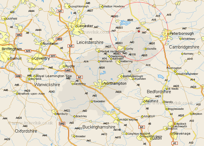
Northamptonshire Map Showing Location of Duddington
Population: 181
District: East Northamptonshire
Easting: 499323 Northing: 301295
Latitude: 52.6 Longitude: -0.53
 = Duddington
District: East Northamptonshire
Easting: 499323 Northing: 301295
Latitude: 52.6 Longitude: -0.53
= Duddington
This Duddington map below is supplied by Google. Use the tools in the top left corner to zoom into street level or zoom out for a road map, you may also need to zoom in to see Duddington on the map. Click and drag the map to move around. If the map fails to load try and refresh your browser or zoom in or out (+ or -).
Update - it seems Google no longer allow people to use their maps for free! This Duddington map sometimes loads and sometimes gives a error. I am working on a solution.
Closest 30 Towns or Cities to Duddington (Population over 500)
Kings Cliffe 4.33km King's Cliffe 4.33km Nassington 9.65km Gretton 11.67km Oundle 13.74km Warmington 14.32km Weldon 14.63km Caldecott 15.47km Corby 15.8km Stanion 16.79km Brigstock 17.28km Cottingham 19.57km Geddington 21.13km Wilbarston 22.22km Thrapston 22.24km Titchmarsh 22.5km Islip 24.1km Kettering 25.47km Woodford 26.04km Desborough 26.67km Rothwell 27.22km Rowell 27.22km Ringstead 27.82km Burton Latimer 29.23km Raunds 29.66km Isham 30km Broughton 30.38km Finedon 30.42km Stanwick 31.52km Irthlingborough 31.82km