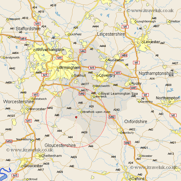
Warwickshire Map Showing Location of Milcote Station
Population: 55
District: Stratford-on-Avon
Easting: 417103 Northing: 250265
Latitude: 52.15 Longitude: -1.75
 = Milcote Station
District: Stratford-on-Avon
Easting: 417103 Northing: 250265
Latitude: 52.15 Longitude: -1.75
= Milcote Station
This Milcote Station map below is supplied by Google. Use the tools in the top left corner to zoom into street level or zoom out for a road map, you may also need to zoom in to see Milcote Station on the map. Click and drag the map to move around. If the map fails to load try and refresh your browser or zoom in or out (+ or -).
Update - it seems Google no longer allow people to use their maps for free! This Milcote Station map sometimes loads and sometimes gives a error. I am working on a solution.
Closest 30 Towns or Cities to Milcote Station (Population over 500)
Quinton 3.87km Stratford on Avon 5.03km Stratford-upon-Avon 5.03km Stratford-on-Avon 5.03km Stratford 5.03km Stratford upon Avon 5.03km Great Alne 8.7km Ilmington 8.7km Salford Priors 9.1km Bearley 9.33km Snitterfield 9.33km Aston Cantlow 9.87km Eatington 10.4km Ettington 10.4km Alcester 10.88km Wootton Wawen 11.18km Wellesbourne 11.95km Wellesbourne Hastings 11.95km Claverdon 13.42km Barford 13.8km Shipston on Stour 14.37km Shipston-on-Stour 14.37km Henley in Arden 14.86km Studley 15.84km Kineton 17.06km Ullenhall 17.29km Bishops Tachbrook 17.43km Lighthorne 17.45km Shrewley 17.62km Hatton 18.02km