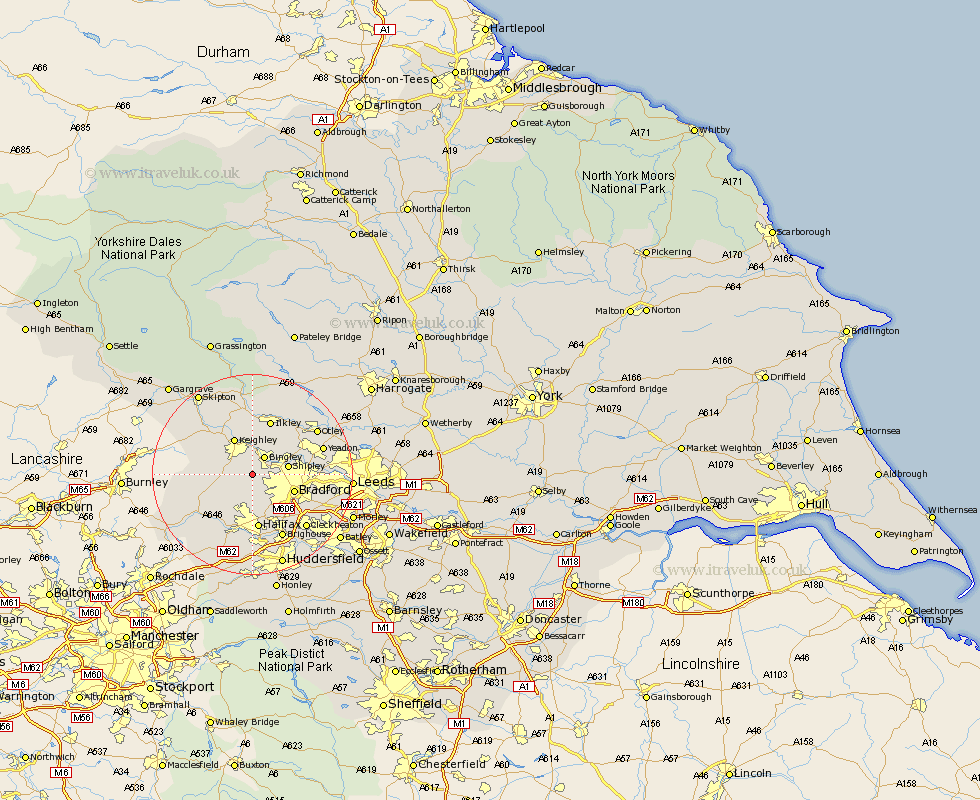
Yorkshire Map Showing Location of Wilsden
Population: 3115
Area Size (ha): 64
District: Bradford
Easting: 408777 Northing: 435634
Latitude: 53.82 Longitude: -1.87
 = Wilsden
Area Size (ha): 64
District: Bradford
Easting: 408777 Northing: 435634
Latitude: 53.82 Longitude: -1.87
= Wilsden
This Wilsden map below is supplied by Google. Use the tools in the top left corner to zoom into street level or zoom out for a road map, you may also need to zoom in to see Wilsden on the map. Click and drag the map to move around. If the map fails to load try and refresh your browser or zoom in or out (+ or -).
Update - it seems Google no longer allow people to use their maps for free! This Wilsden map sometimes loads and sometimes gives a error. I am working on a solution.
Closest 30 Towns or Cities to Wilsden (Population over 500)
Wilsden 0km Cullingworth 2.19km Bingley 4.3km Denholme 4.31km Haworth 5.47km Oxenhope 5.78km Queensbury 6.46km Shipley 6.82km Baildon 7.53km Keighley 8.1km Bradford 8.51km Steeton 9.21km Silsden 10.24km Sutton-in-Craven 10.65km Halifax 11.17km Guiseley 11.3km Menston 11.46km Ilkley 11.59km Luddenden Foot 11.95km Heptonstall 12.33km Hebden Bridge 12.33km Glusburn 12.74km Addingham 13.01km Burley 13.5km Burley in Wharfedale 13.5km Mytholmroyd 13.51km Pudsey 13.65km Brighouse 14.09km Yeadon 14.25km Cononley 14.84km