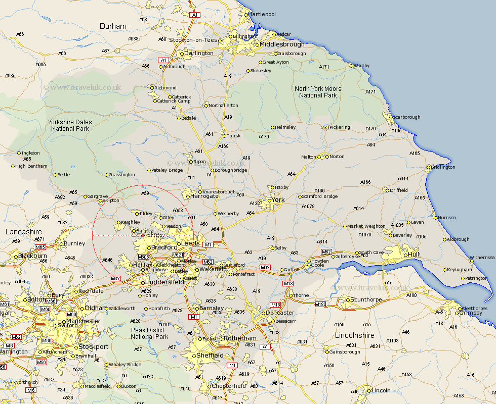
Yorkshire Map Showing Location of Saltaire
District: Bradford
Easting: 414257 Northing: 437494
Latitude: 53.83 Longitude: -1.78
 = Saltaire
Easting: 414257 Northing: 437494
Latitude: 53.83 Longitude: -1.78
= Saltaire
This Saltaire map below is supplied by Google. Use the tools in the top left corner to zoom into street level or zoom out for a road map, you may also need to zoom in to see Saltaire on the map. Click and drag the map to move around. If the map fails to load try and refresh your browser or zoom in or out (+ or -).
Update - it seems Google no longer allow people to use their maps for free! This Saltaire map sometimes loads and sometimes gives a error. I am working on a solution.
Closest 30 Towns or Cities to Saltaire (Population over 500)
Shipley 1.09km Baildon 2.15km Bingley 3.77km Guiseley 5.74km Wilsden 5.77km Bradford 5.97km Menston 6.45km Cullingworth 7.88km Yeadon 8.51km Denholme 9.47km Pudsey 9.47km Burley in Wharfedale 9.53km Burley 9.53km Ilkley 9.53km Horsforth 9.84km Otley 9.9km Keighley 10.36km Haworth 11.09km Queensbury 11.47km Oxenhope 11.55km Bramhope 12.26km Steeton 12.26km Silsden 12.32km Addingham 12.91km Pool 13.21km Pool-in-Wharfedale 13.21km Poole 13.21km Leeds 13.64km Cleckheaton 13.69km Halifax 13.69km