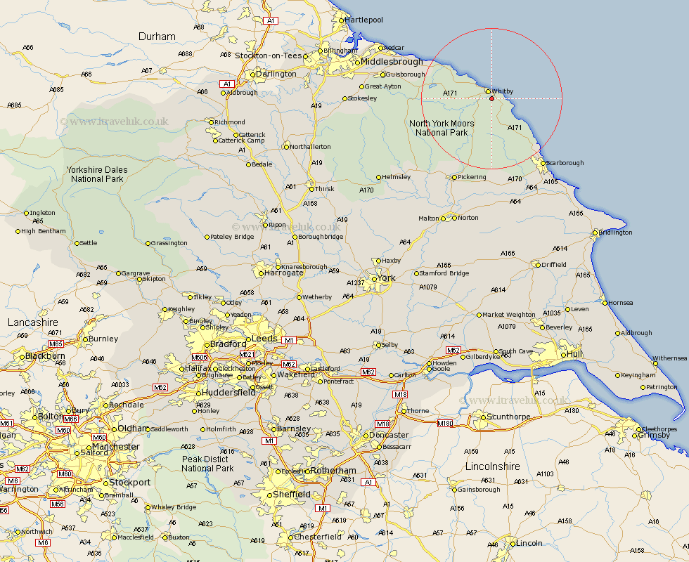
Yorkshire Map Showing Location of Ruswarp
District: Scarborough
Easting: 489648 Northing: 508821
Latitude: 54.47 Longitude: -0.62
 = Ruswarp
Easting: 489648 Northing: 508821
Latitude: 54.47 Longitude: -0.62
= Ruswarp
This Ruswarp map below is supplied by Google. Use the tools in the top left corner to zoom into street level or zoom out for a road map, you may also need to zoom in to see Ruswarp on the map. Click and drag the map to move around. If the map fails to load try and refresh your browser or zoom in or out (+ or -).
Update - it seems Google no longer allow people to use their maps for free! This Ruswarp map sometimes loads and sometimes gives a error. I am working on a solution.
Closest 30 Towns or Cities to Ruswarp (Population over 500)
Whitby 2.4km Hawsker 3.73km Sleights 3.73km Fylingdales 7.74km Hinderwell 12.19km Cloughton 19km Loftus 19.55km Burniston 20.47km Brotton 23.27km Scalby 23.6km Scarborough 23.88km Skelton 25.42km Skelton-in-Cleveland 25.42km Pickering 25.98km Thornton-le-Dale 26.75km Thornton Dale 26.75km Saltburn 26.98km Saltburn-by-the-Sea 26.98km Saltburn by the Sea 26.98km Snainton 27.88km Brompton 28.13km Seamer 28.54km Guisborough 28.94km Marske 29.42km Marske-by-the-Sea 29.42km Marske by the Sea 29.42km Eastfield 29.5km Yedingham 29.66km Kirby Moorside 30.26km Kirkby Moorside 30.26km